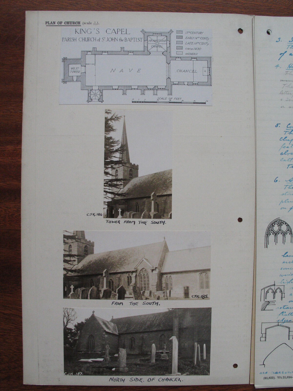
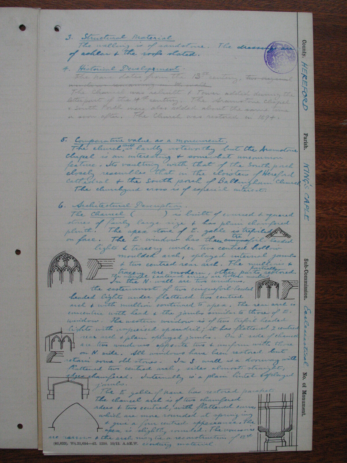
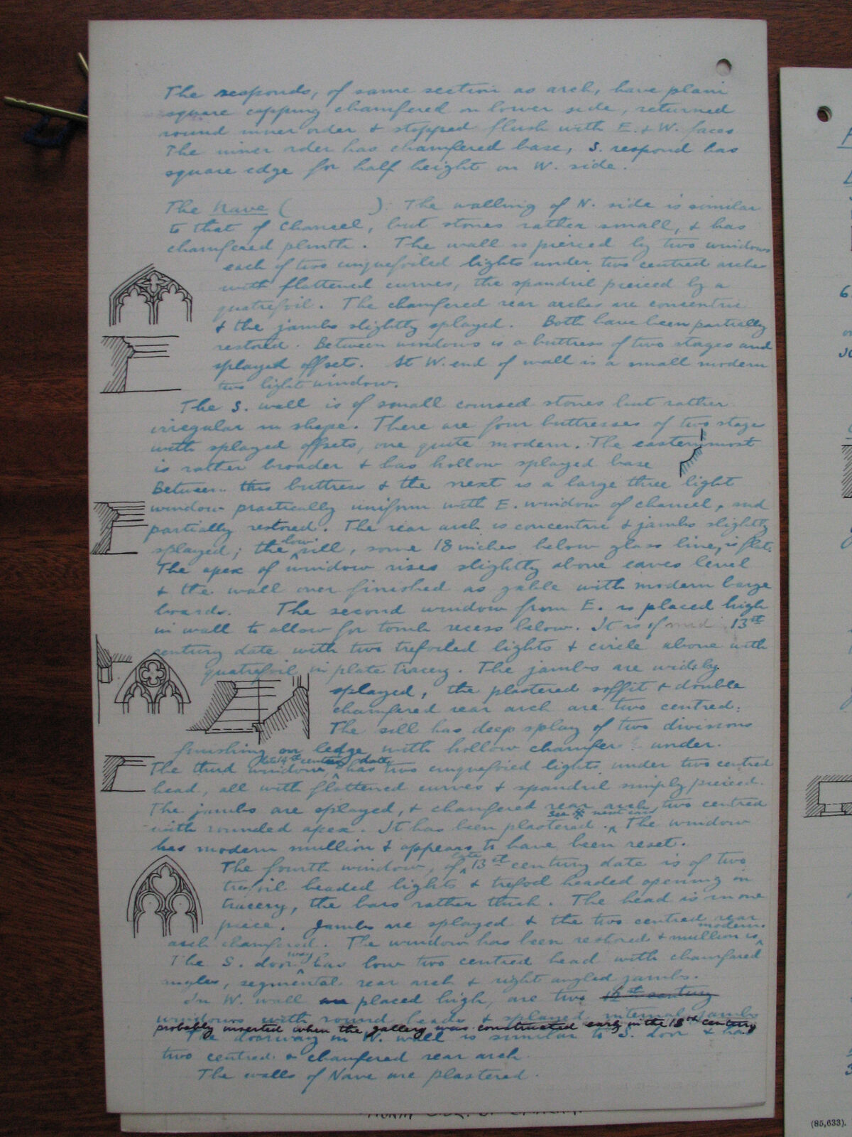
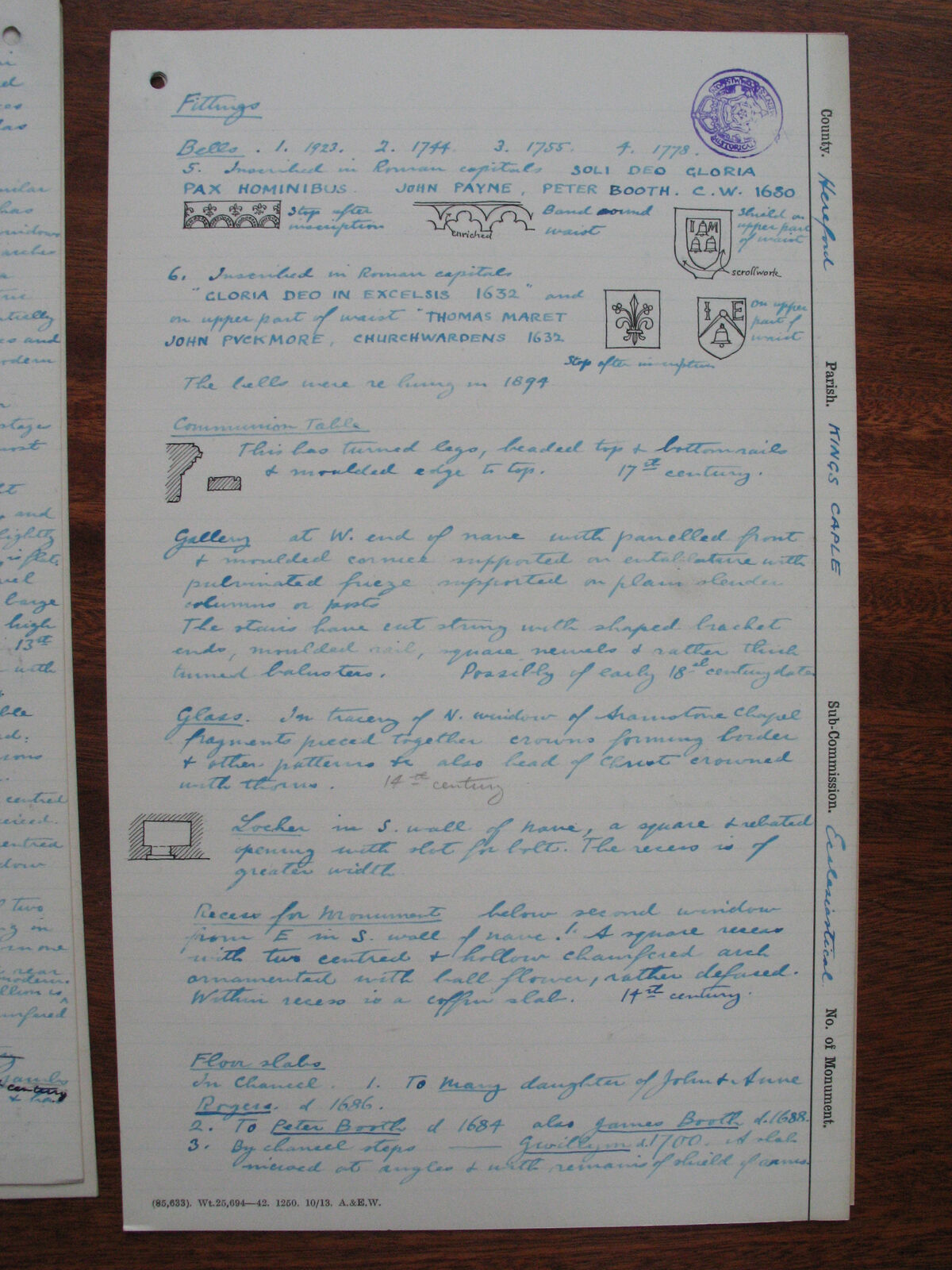
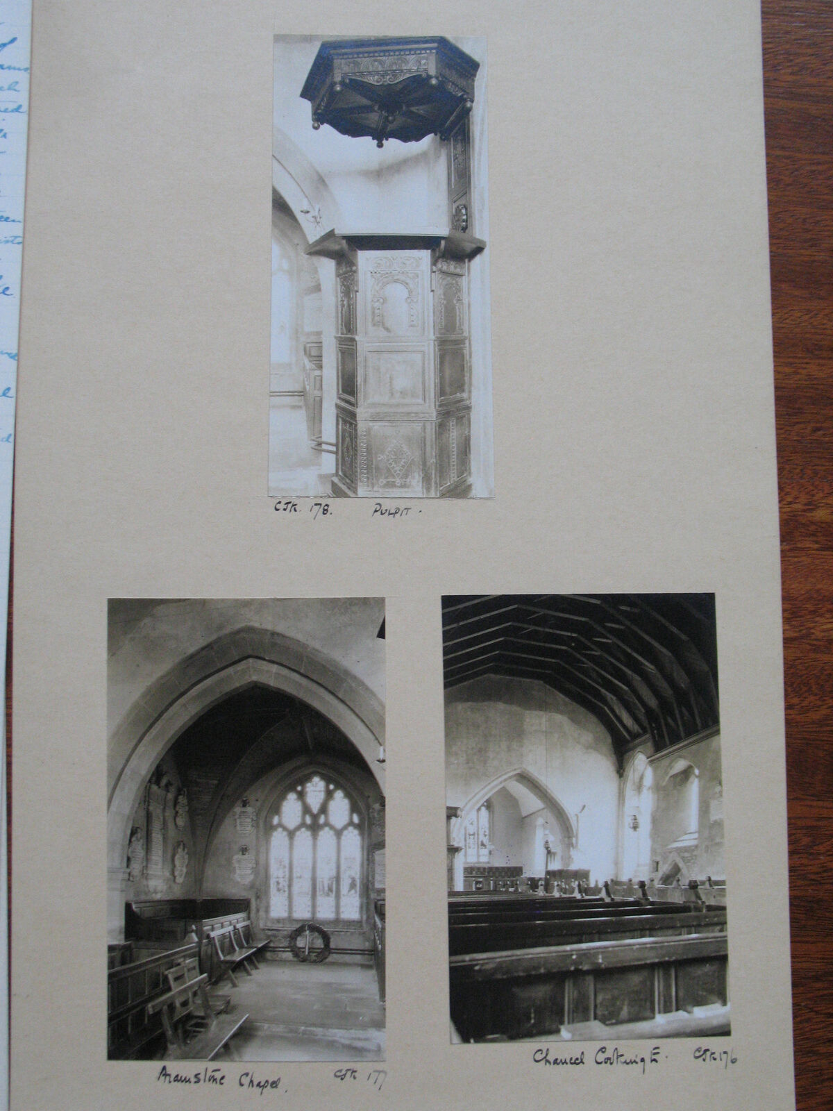
Collection
History/NMRC_RC/KingsCaple — part of the Royal Commission on Historical Monuments
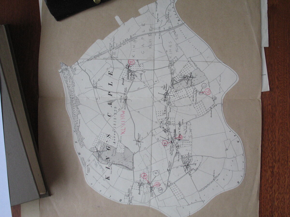
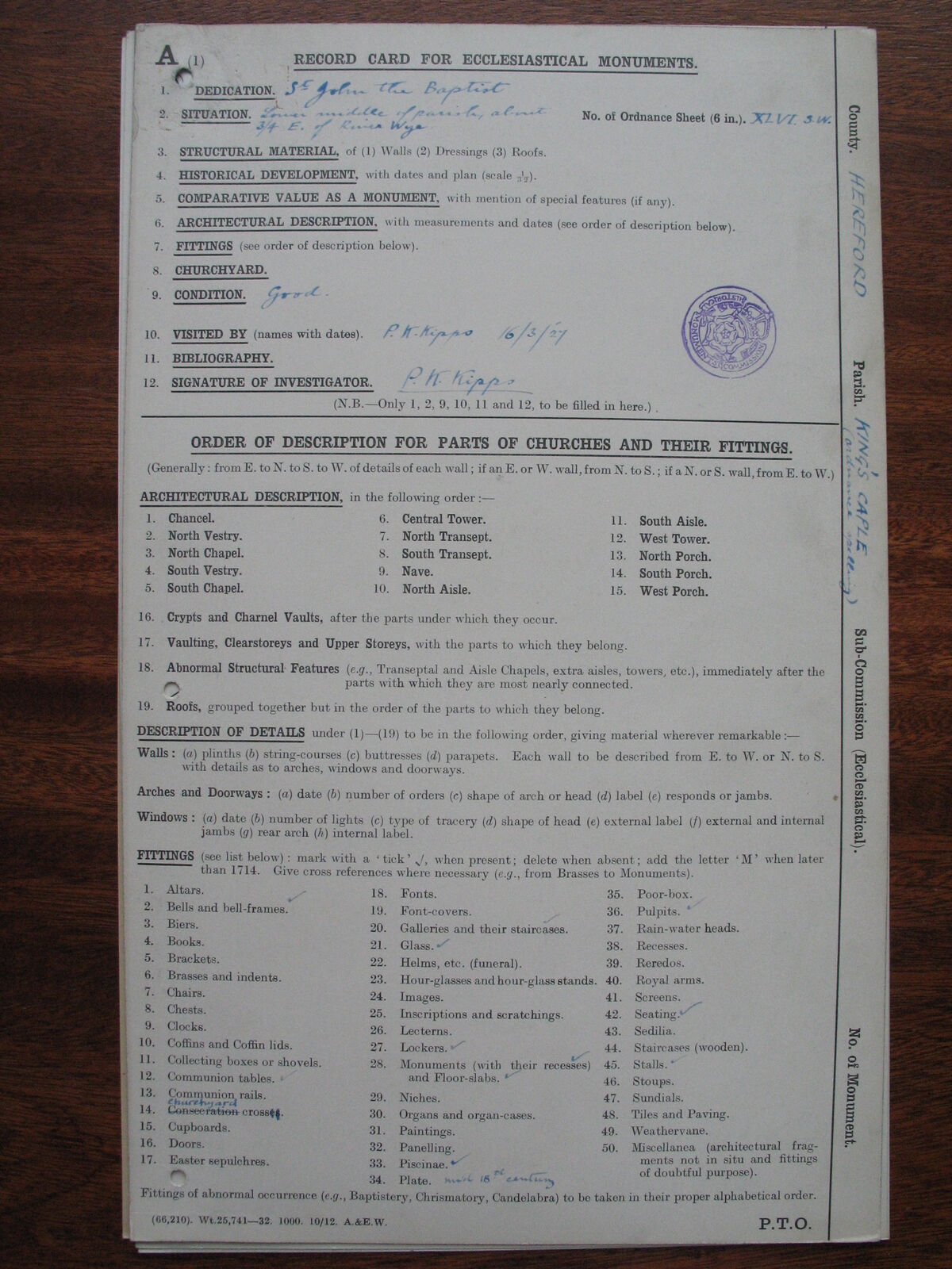
(RCHME) survey photographs. 25 images captured by Canon PowerShot cameras between 2005 and 2007.
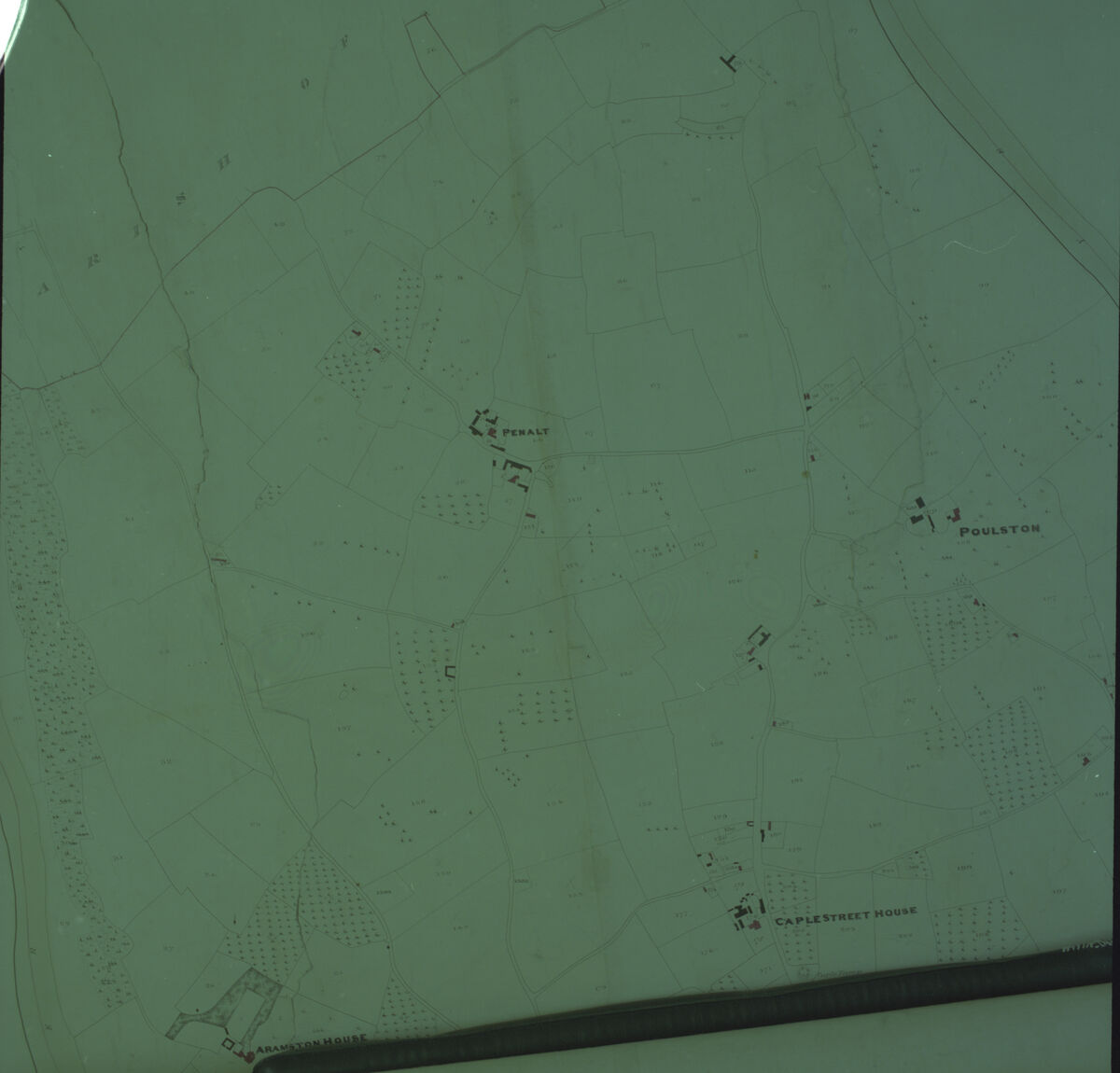
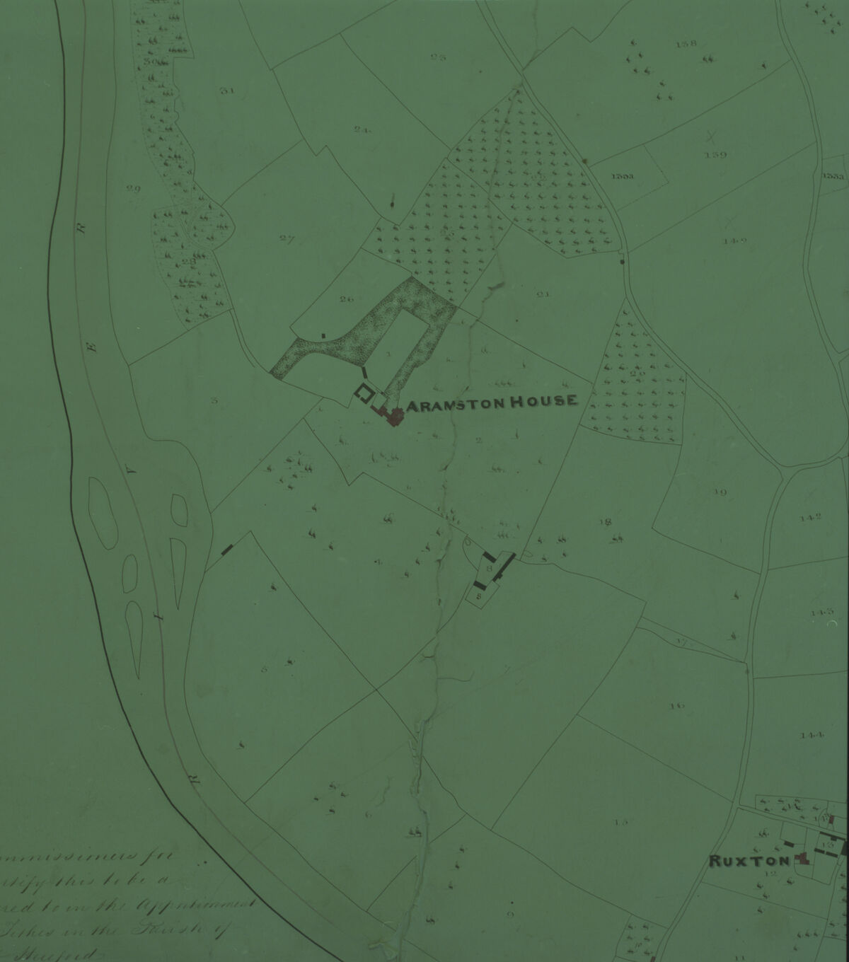
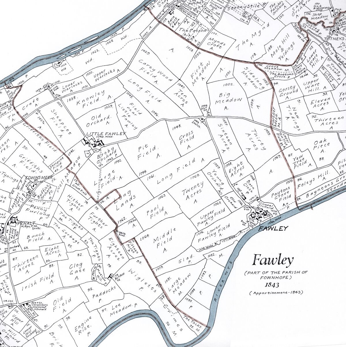
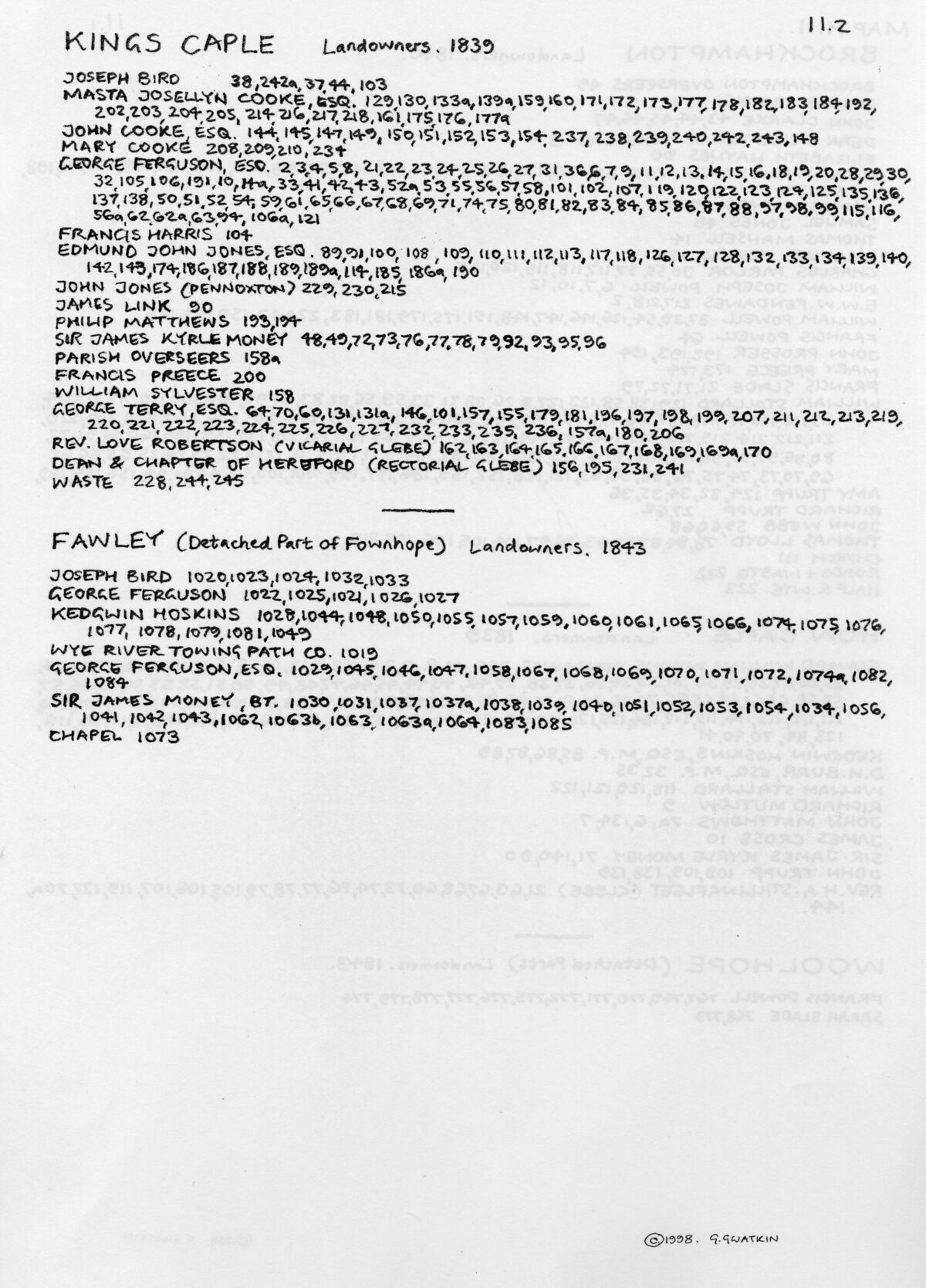
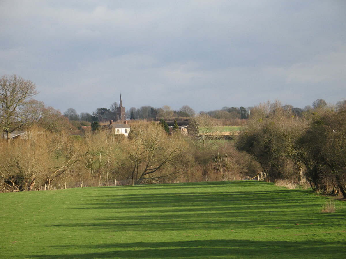
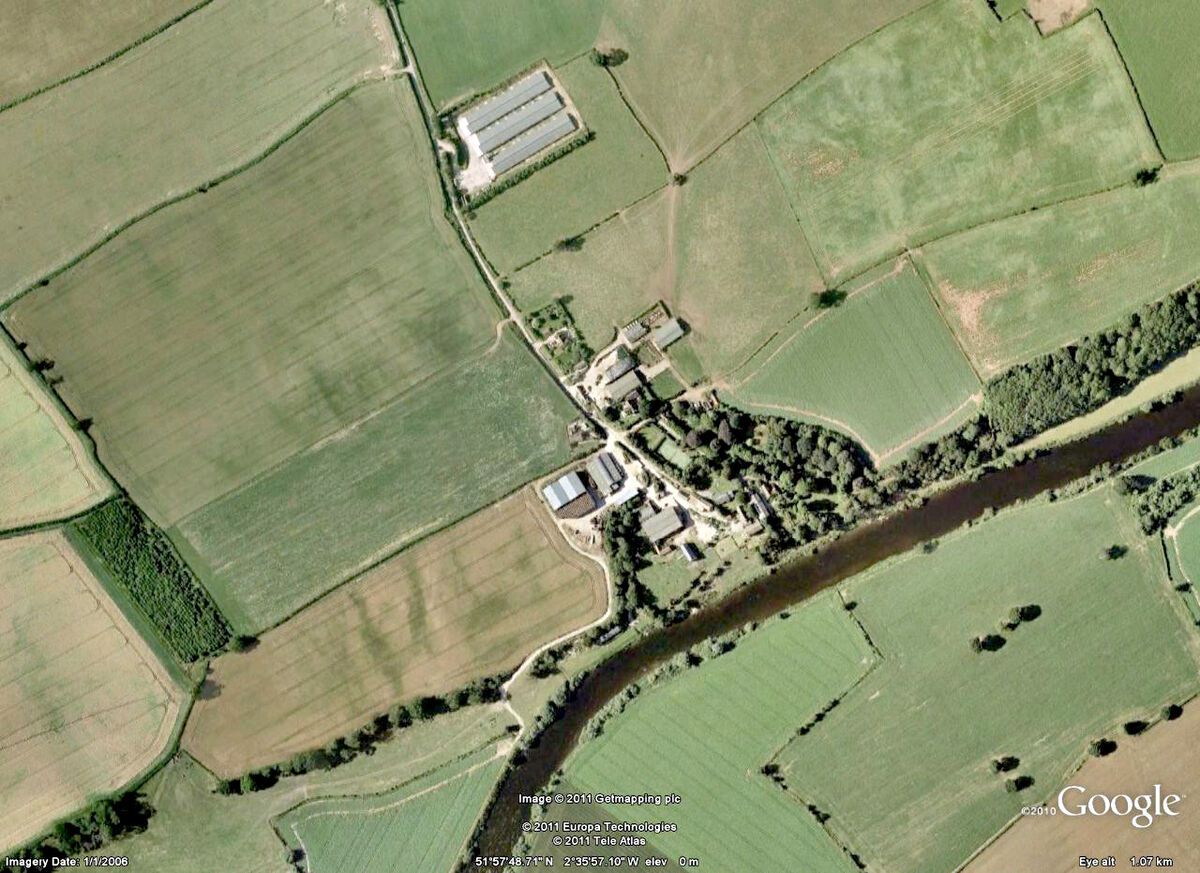
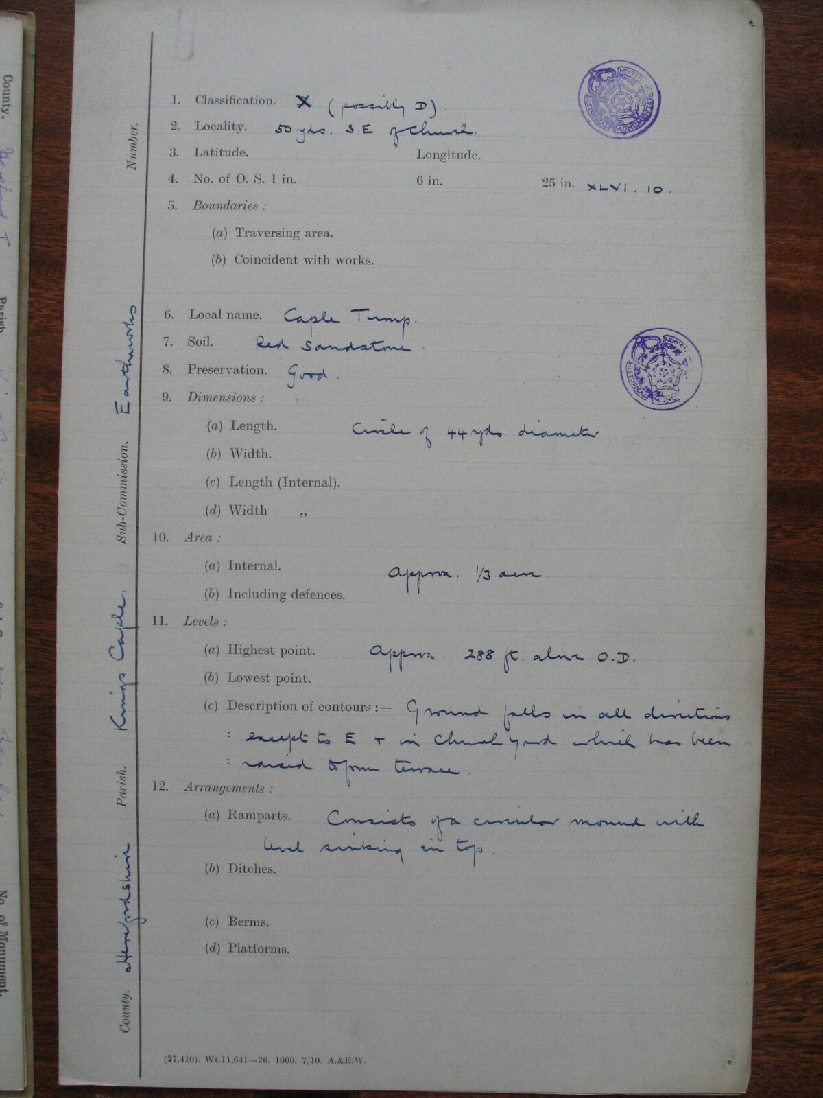
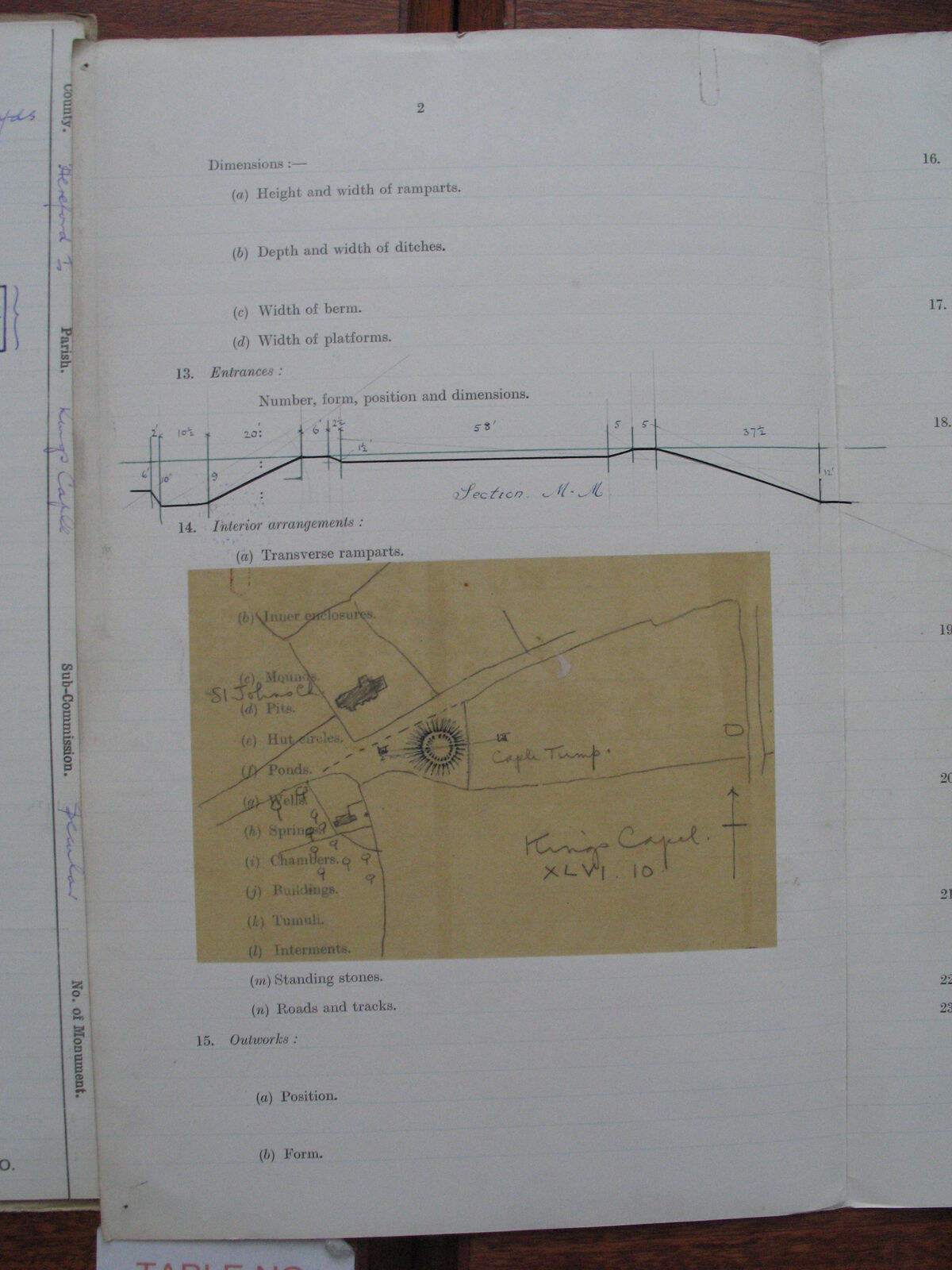
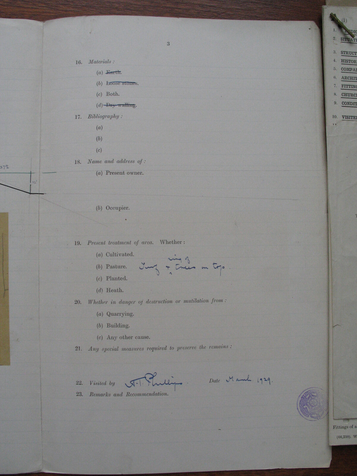
Royal Commission survey photographs of King's Caple parish, Herefordshire — supplied to a researcher studying medieval field patterns and settlement history in the Wye Valley area.
History/NMRC_RC/KingsCaple — part of the Royal Commission on Historical Monuments
(RCHME) survey photographs. 25 images captured by Canon PowerShot cameras between 2005 and 2007.
The full set is available as a release asset:
Download kings-caple-photos.zip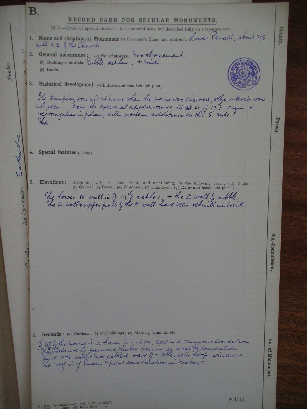
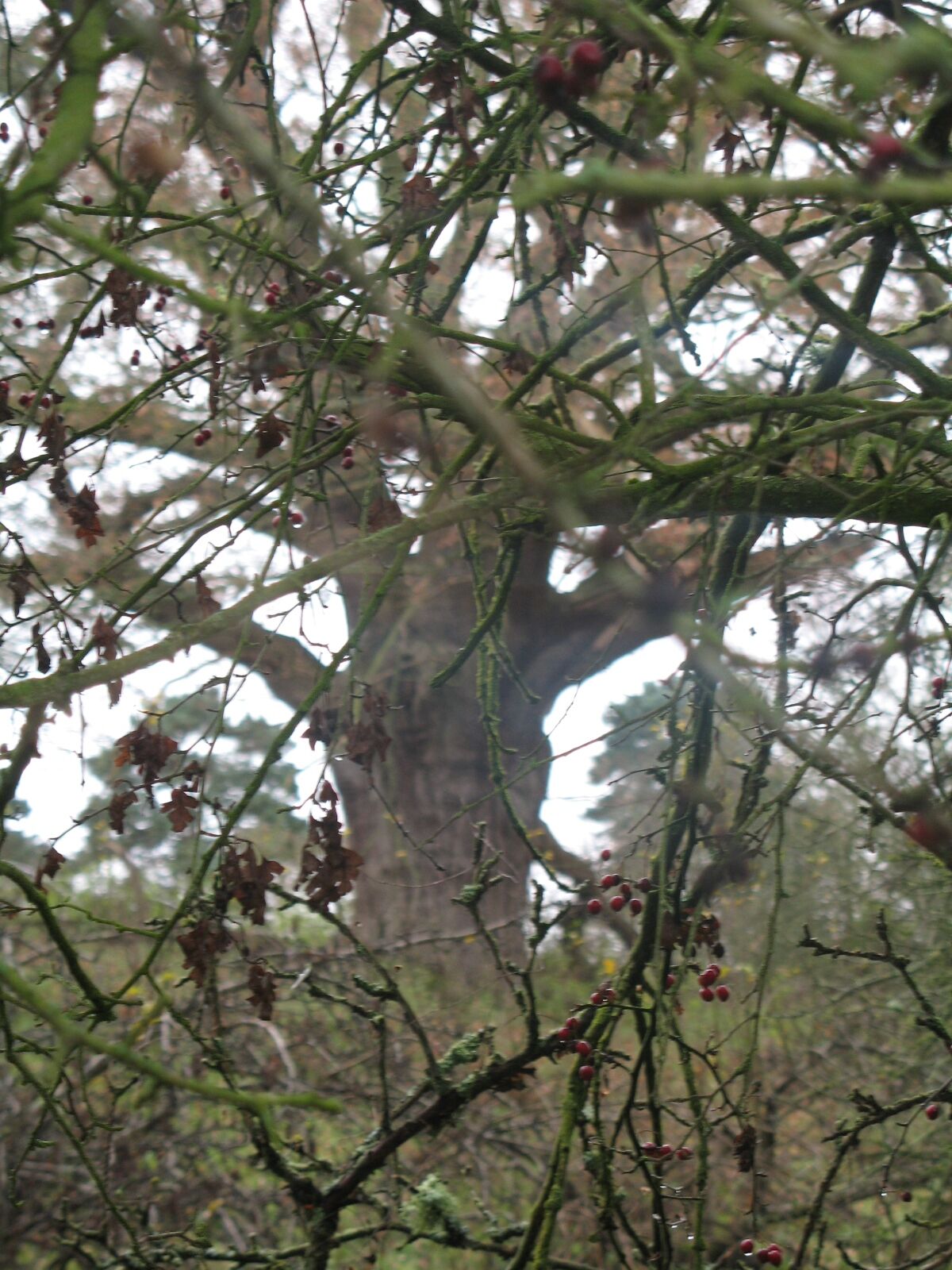
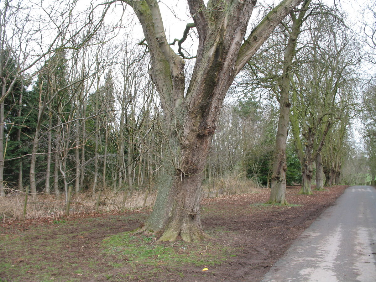
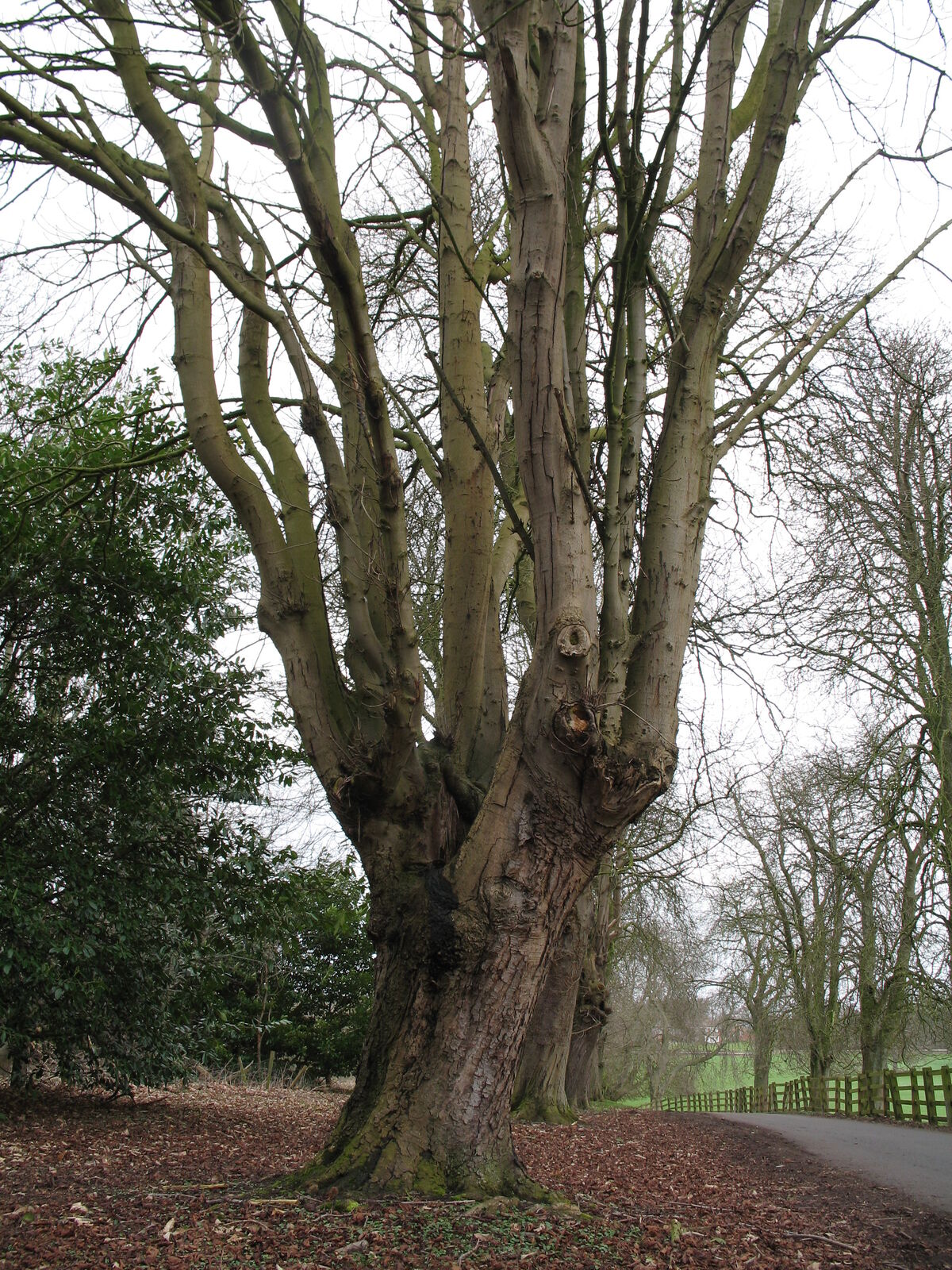
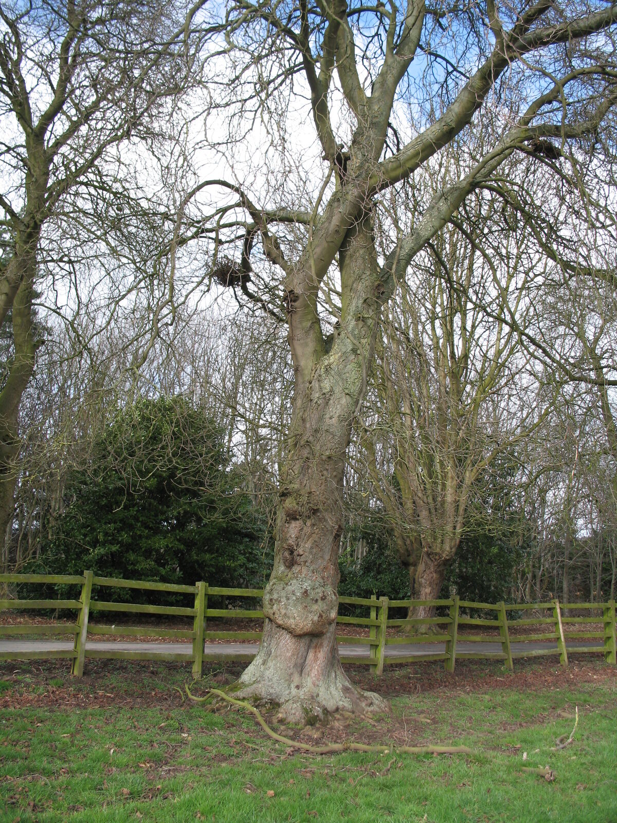
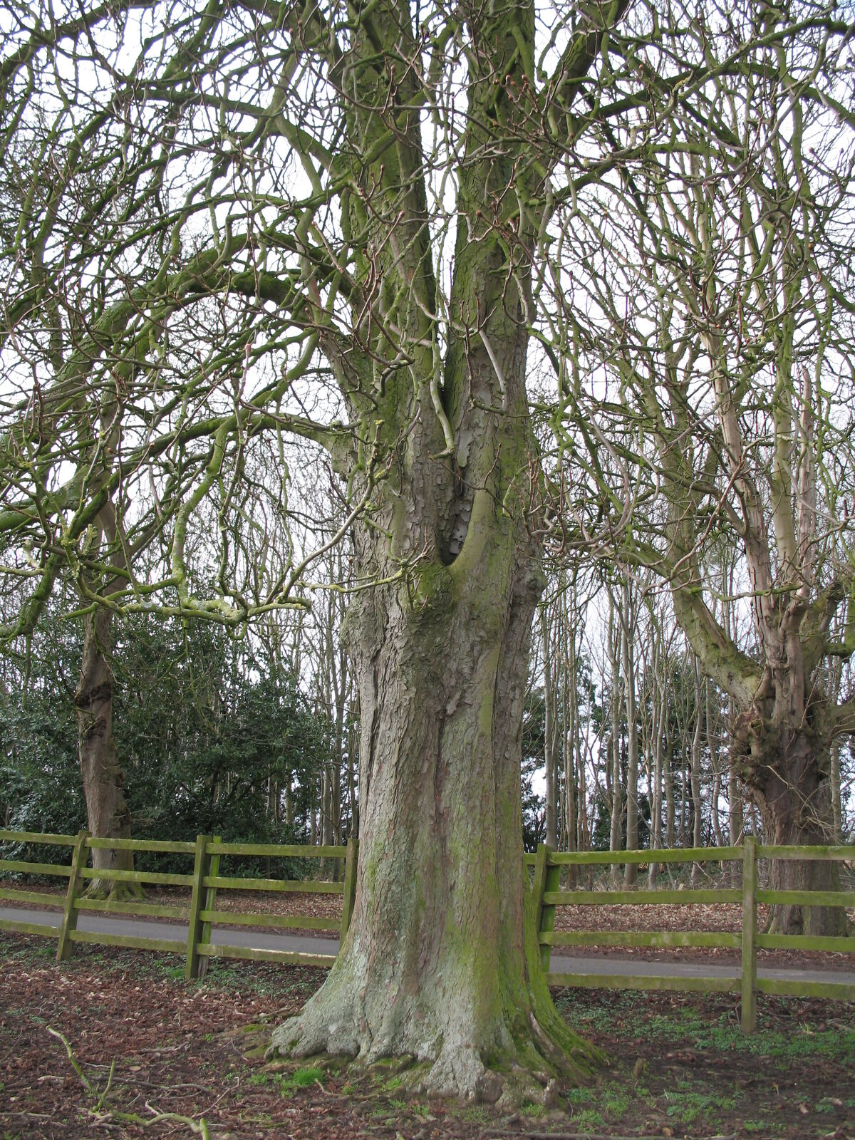
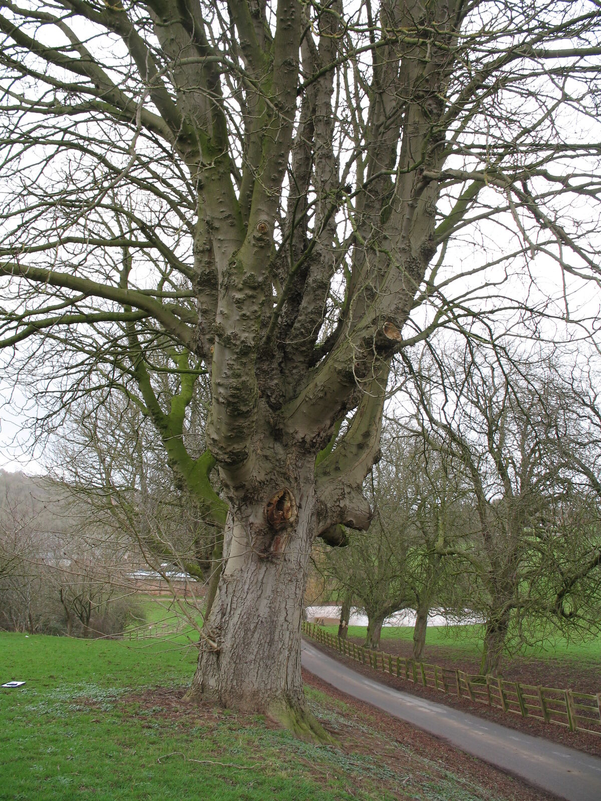
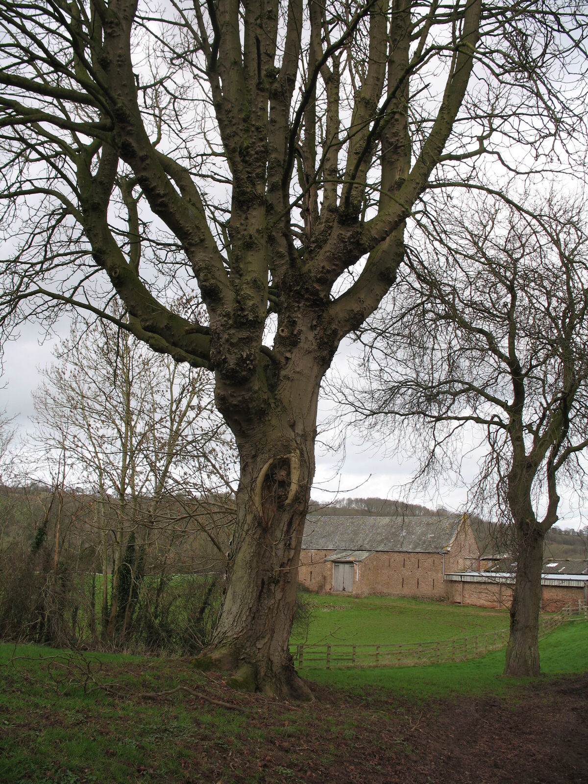
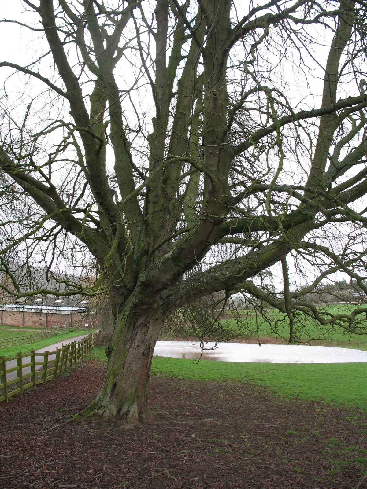
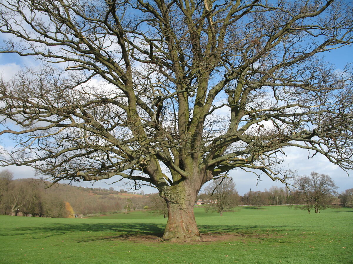
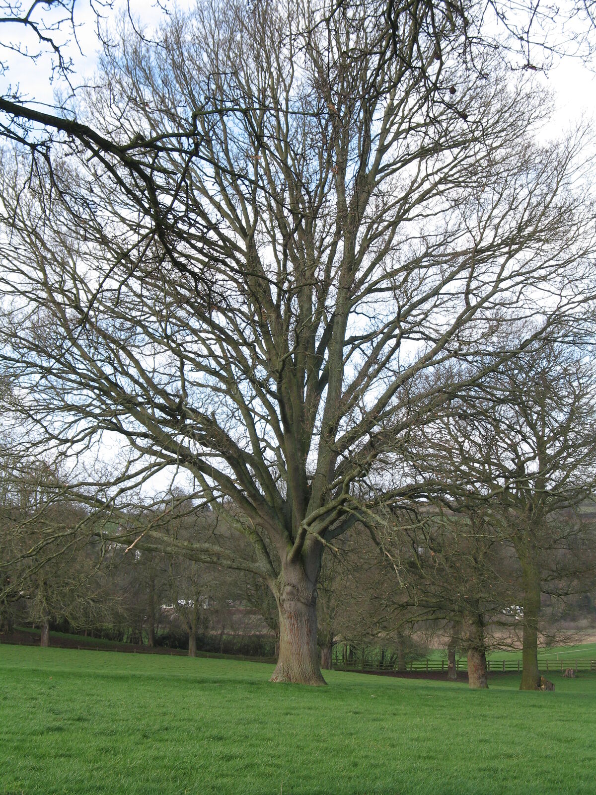
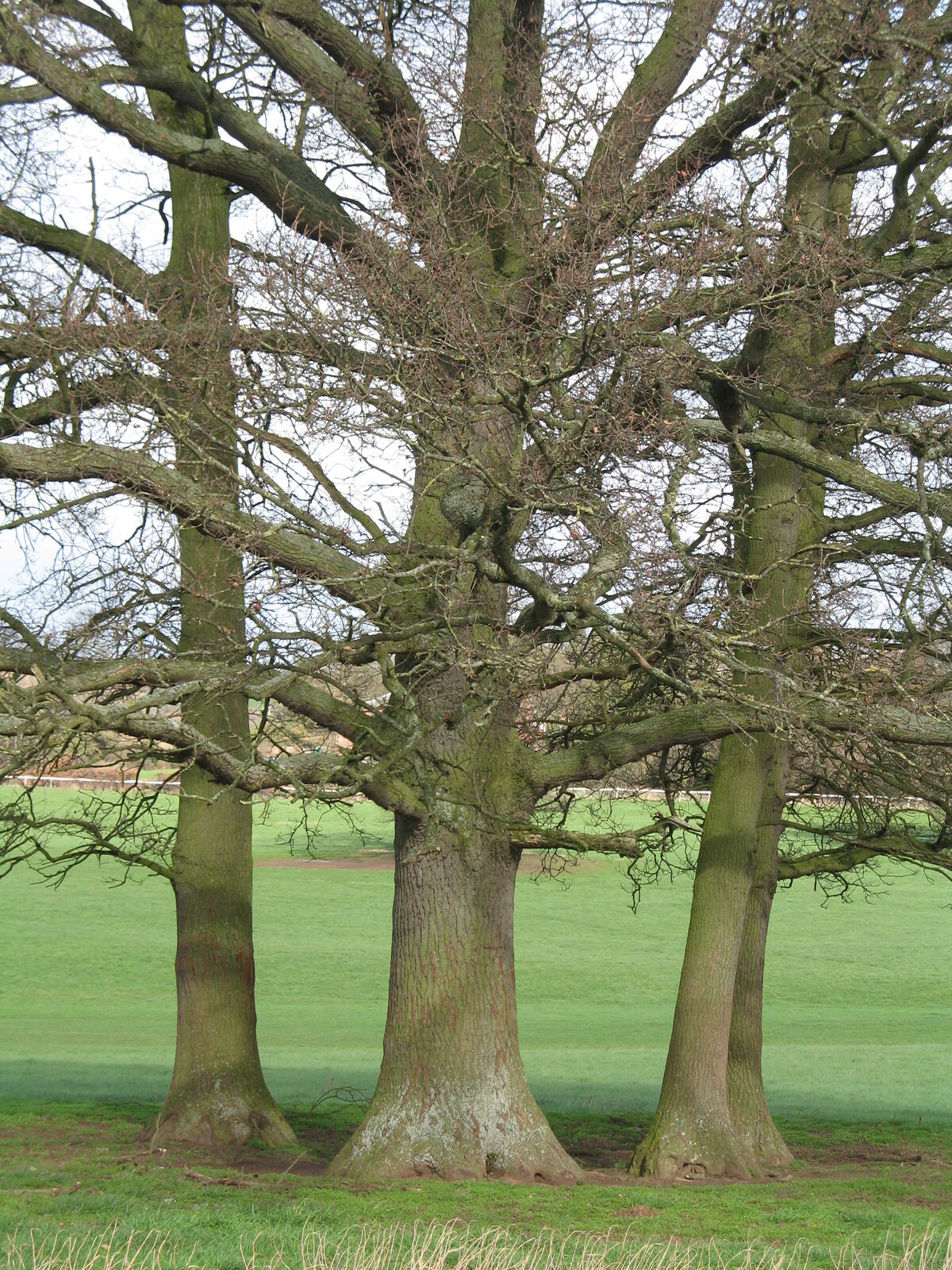
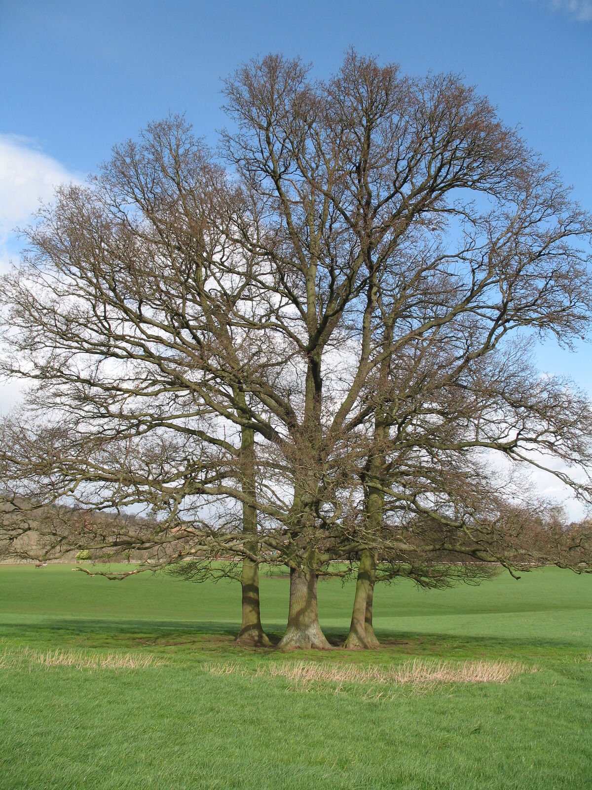
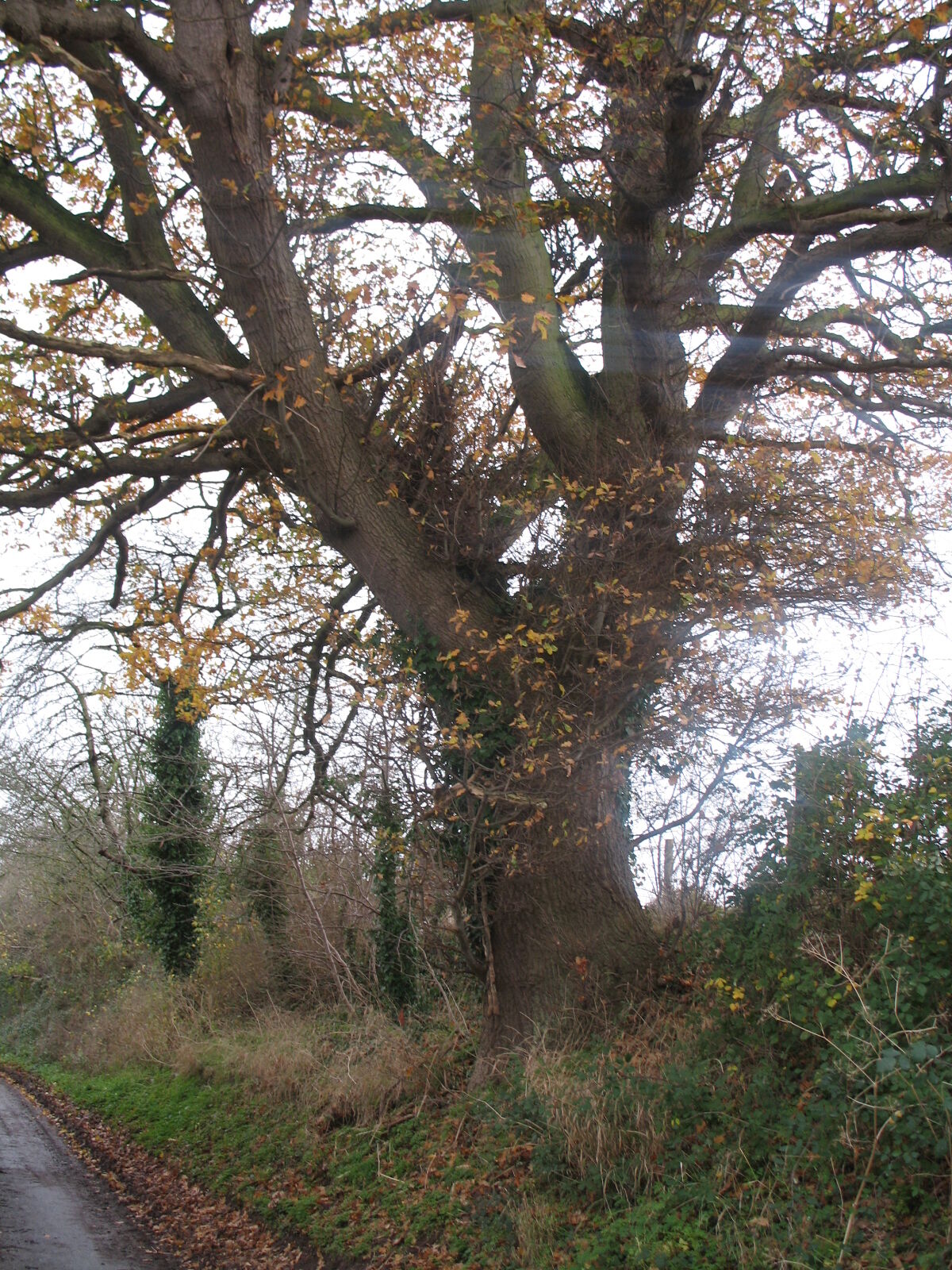
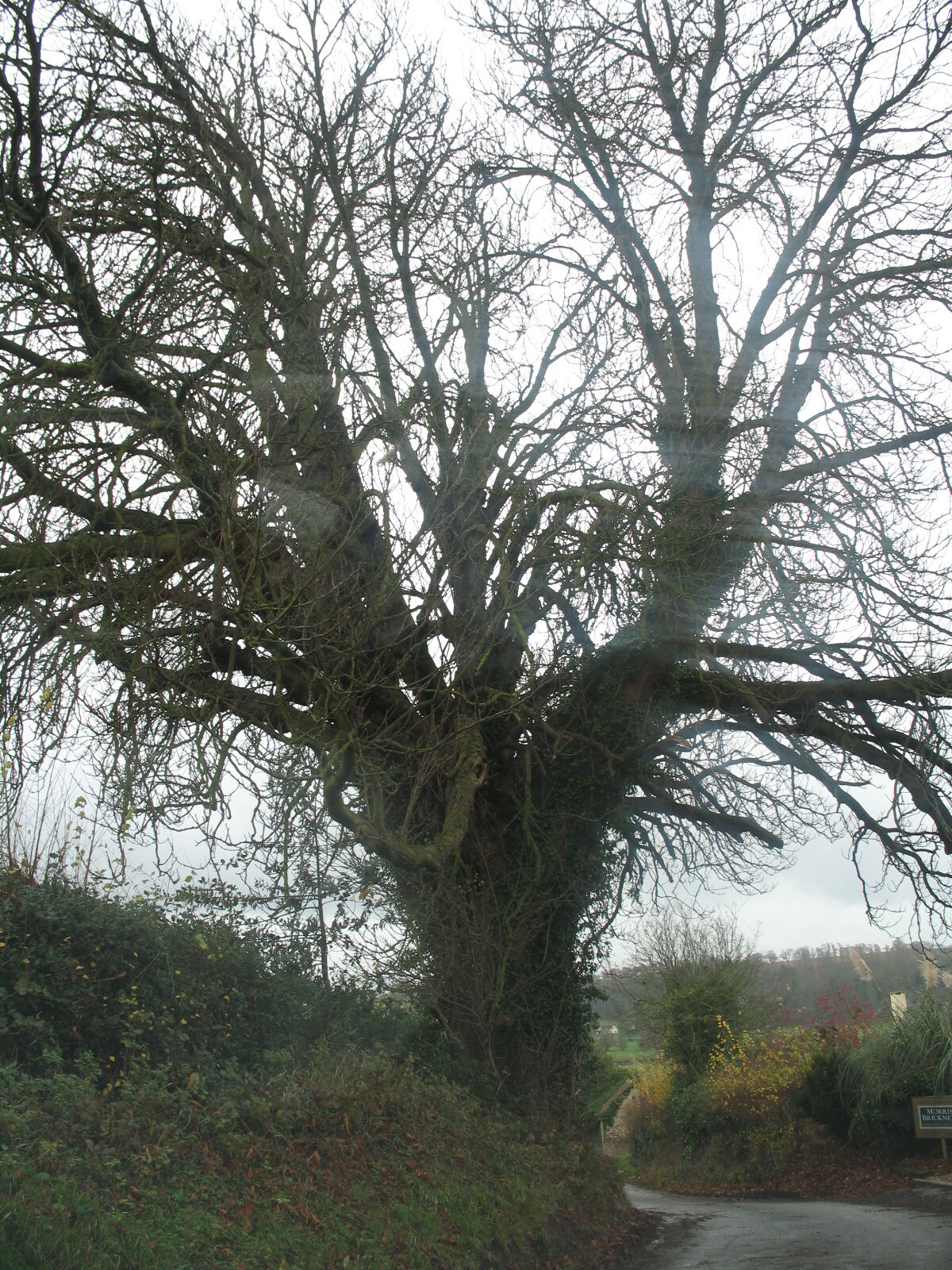
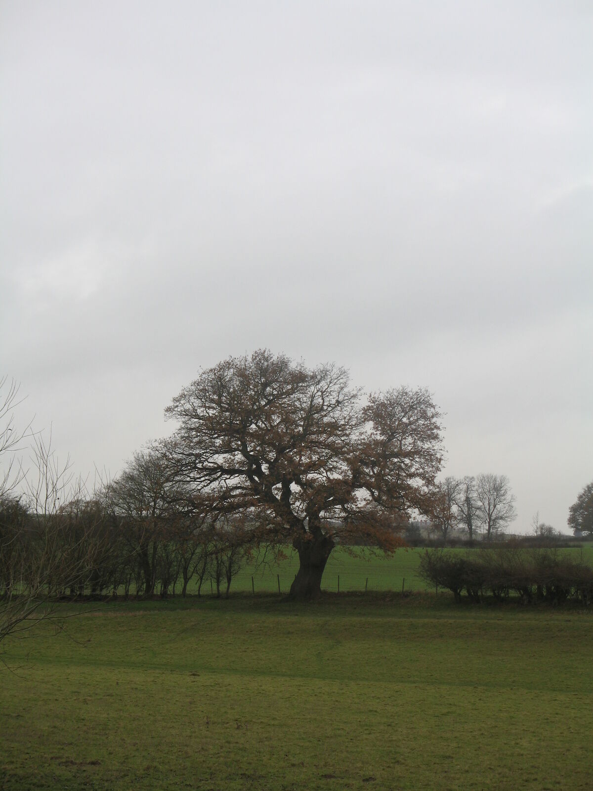
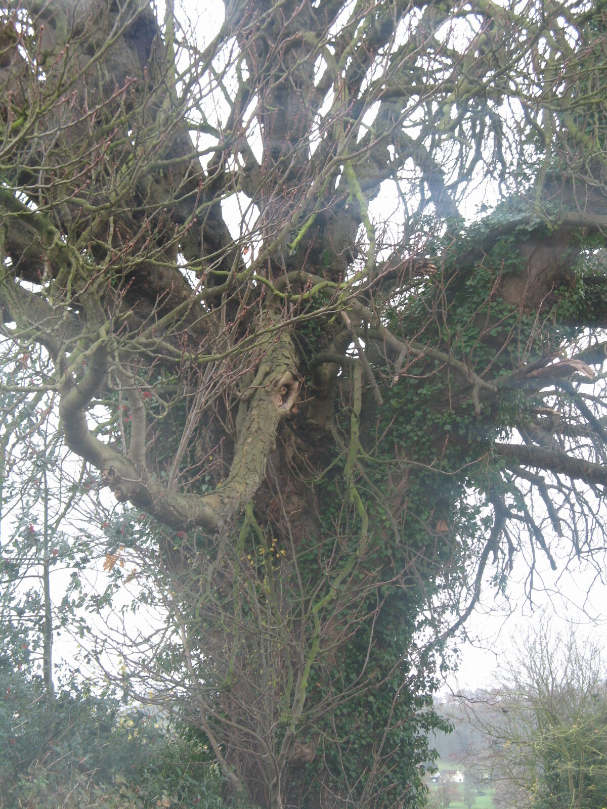
16 veteran tree photographs from the LOWVP survey in Kings Caple parish, supplied alongside the Royal Commission photos to support research into ancient tree populations and woodland history. Grid references refer to the OS British National Grid (1 km square).
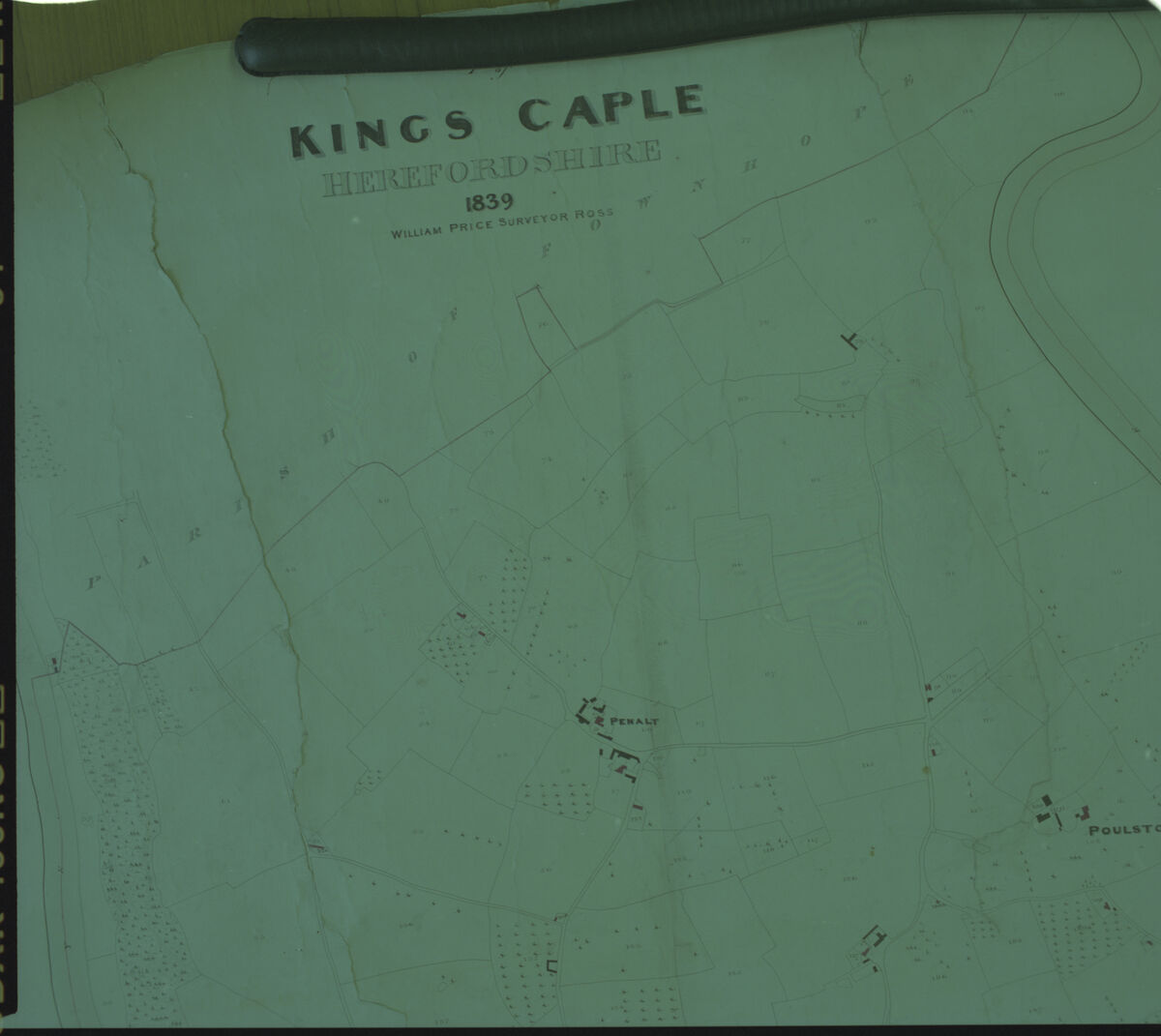
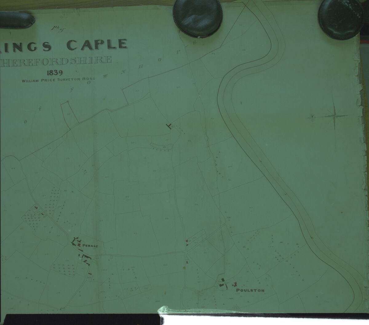
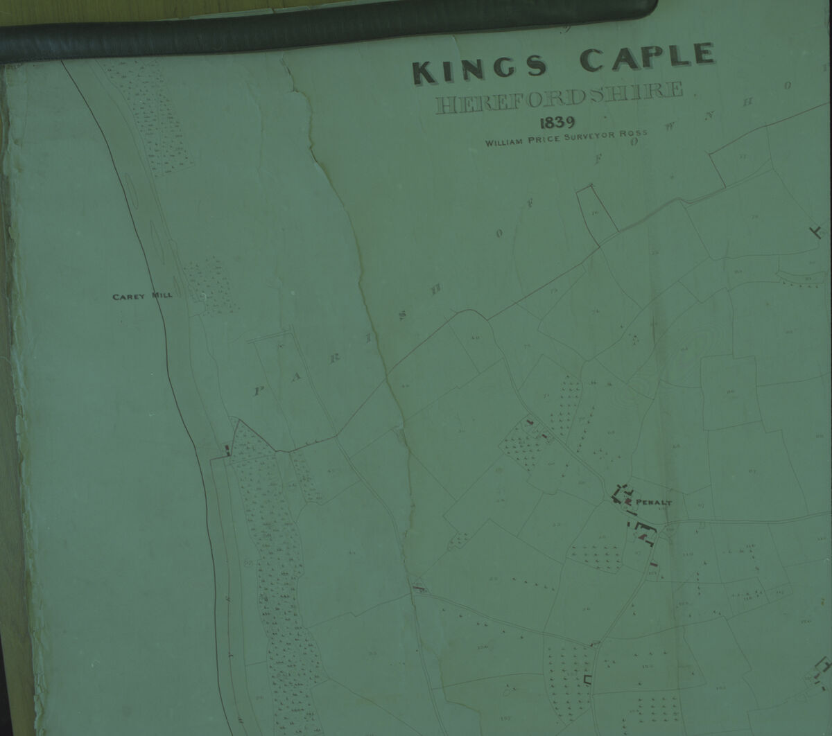
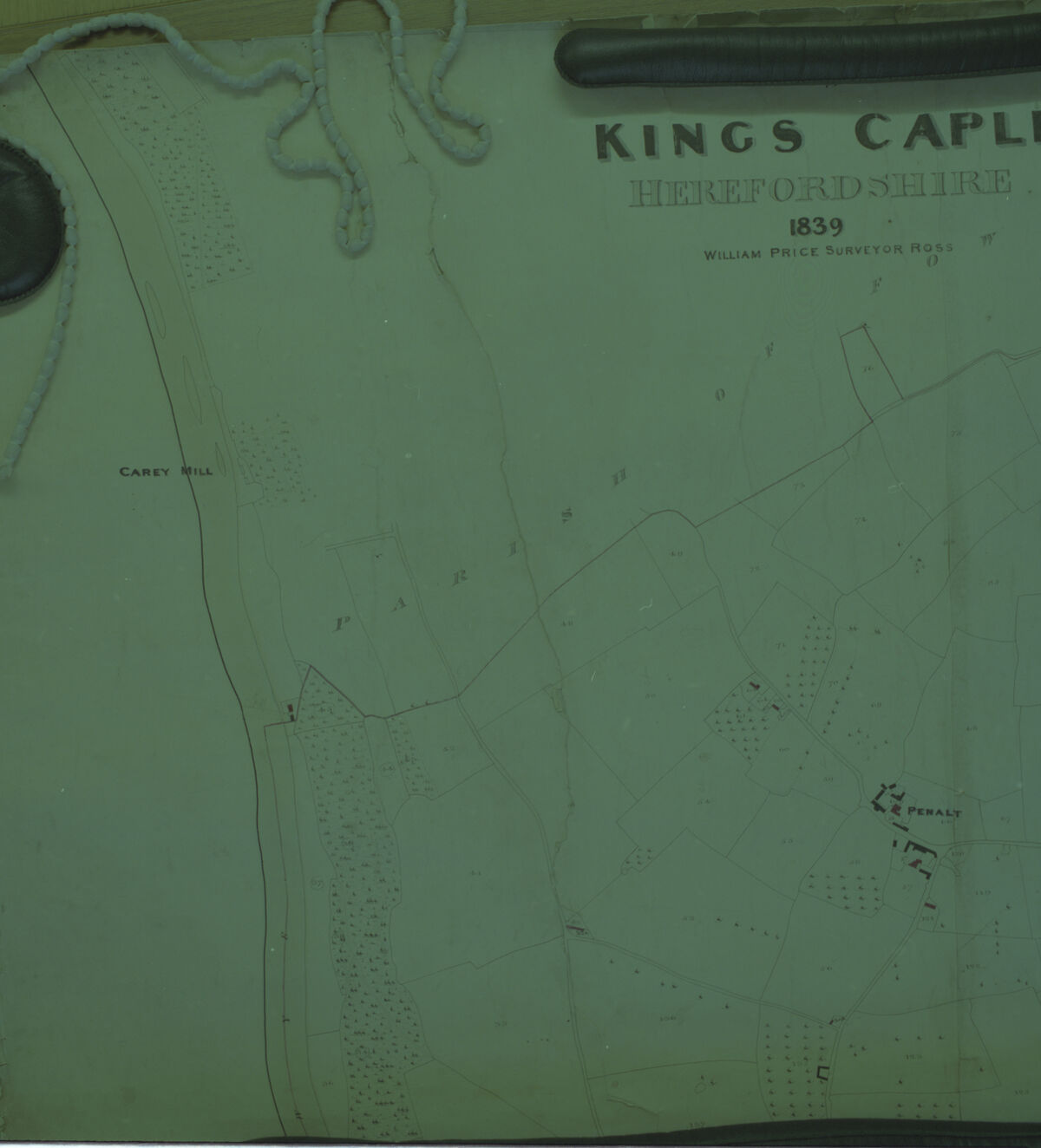
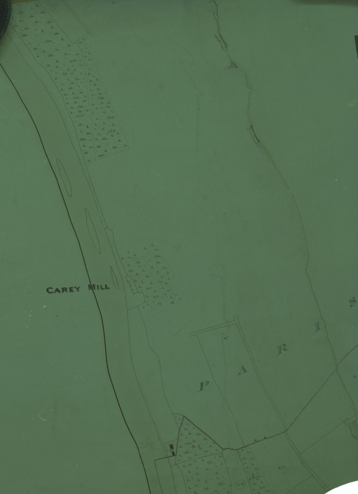
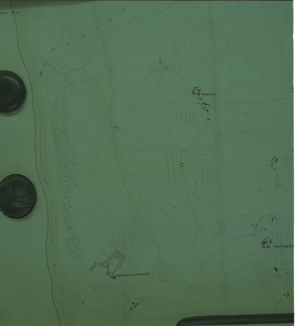
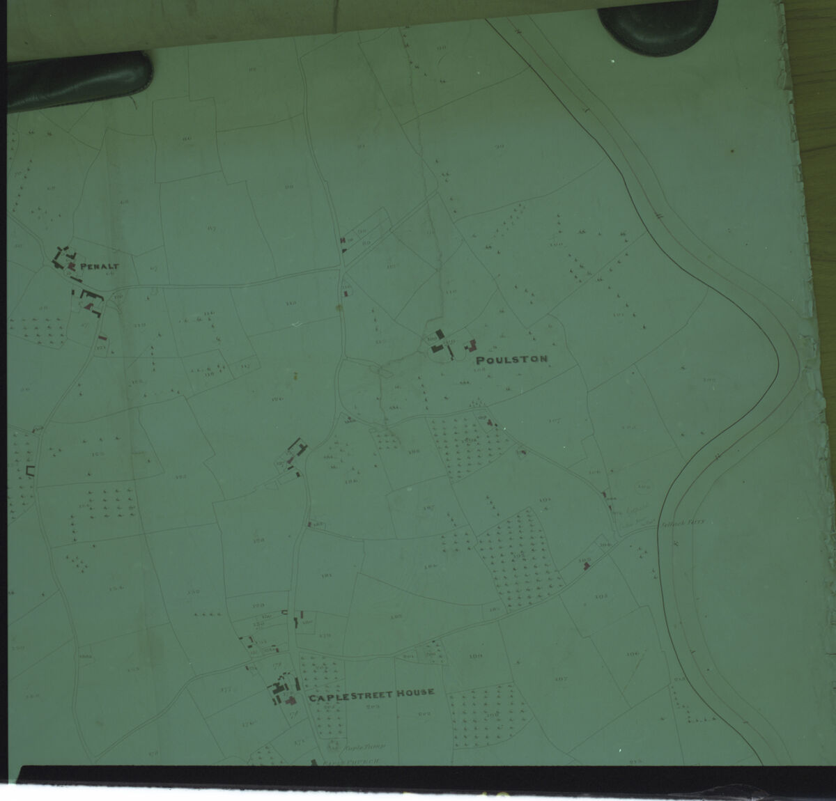
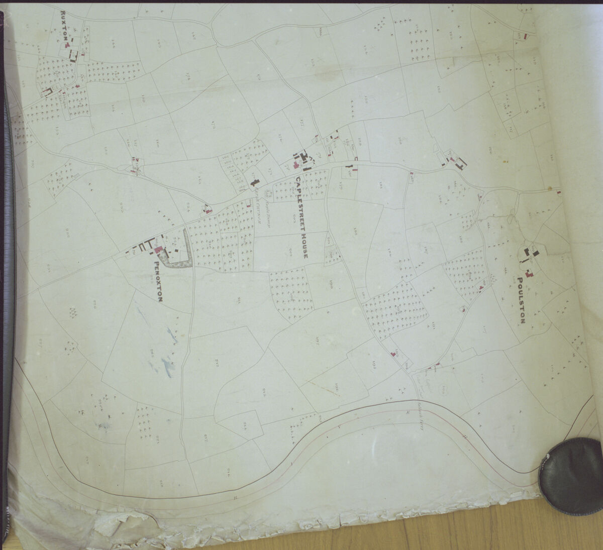
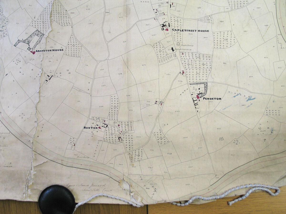
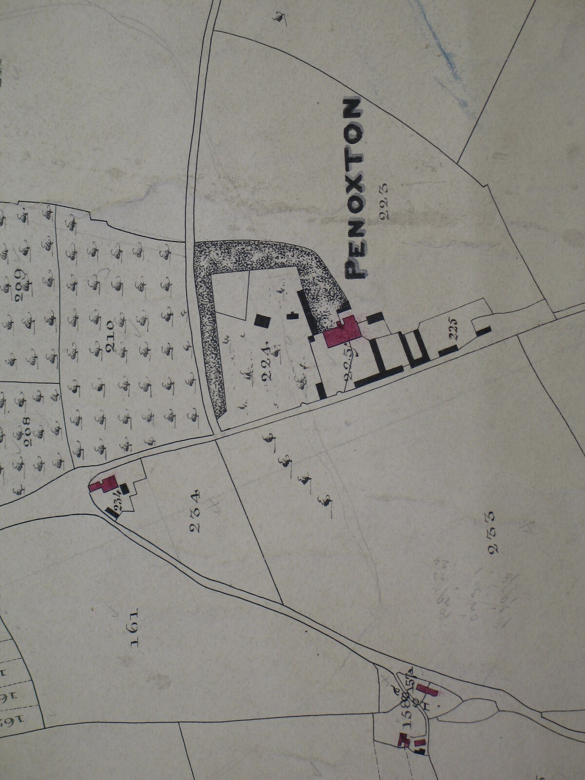
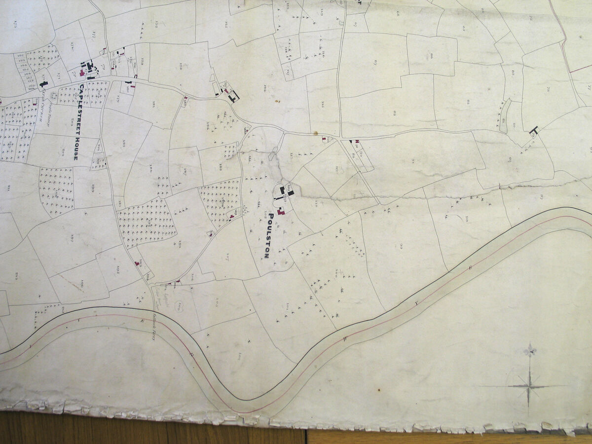
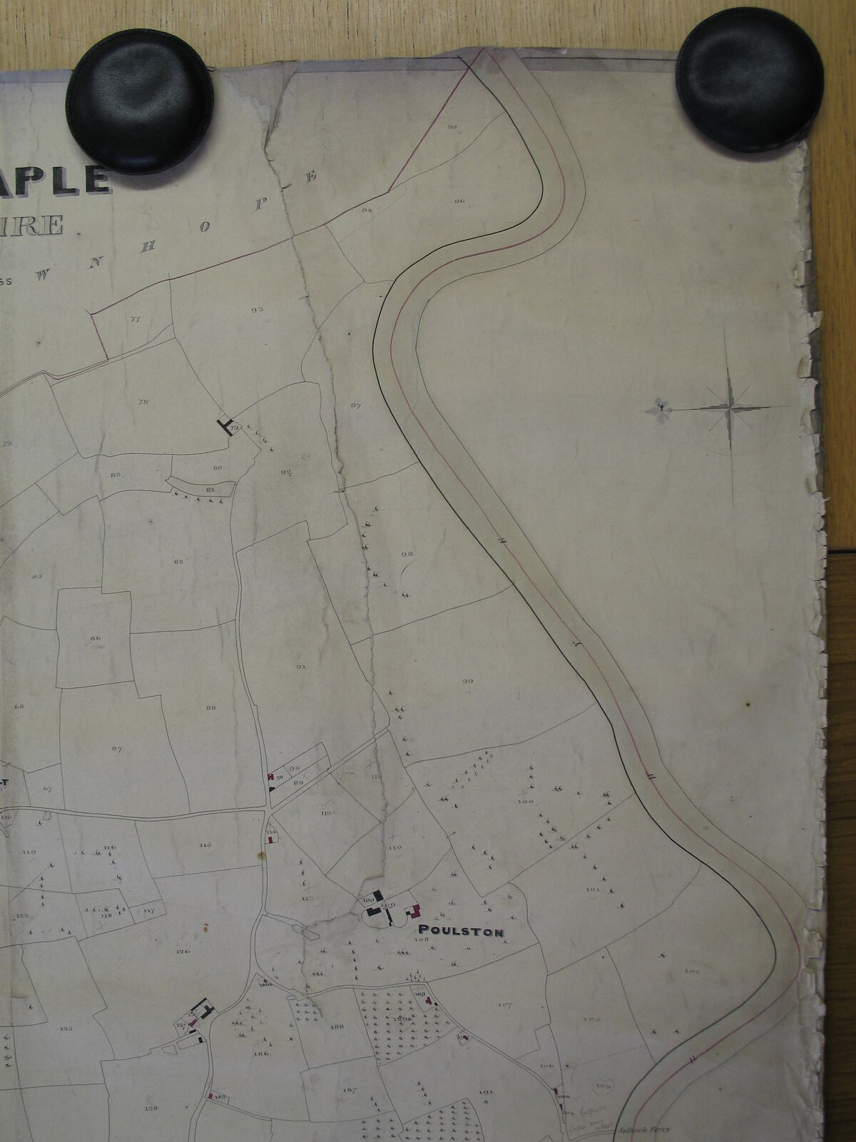
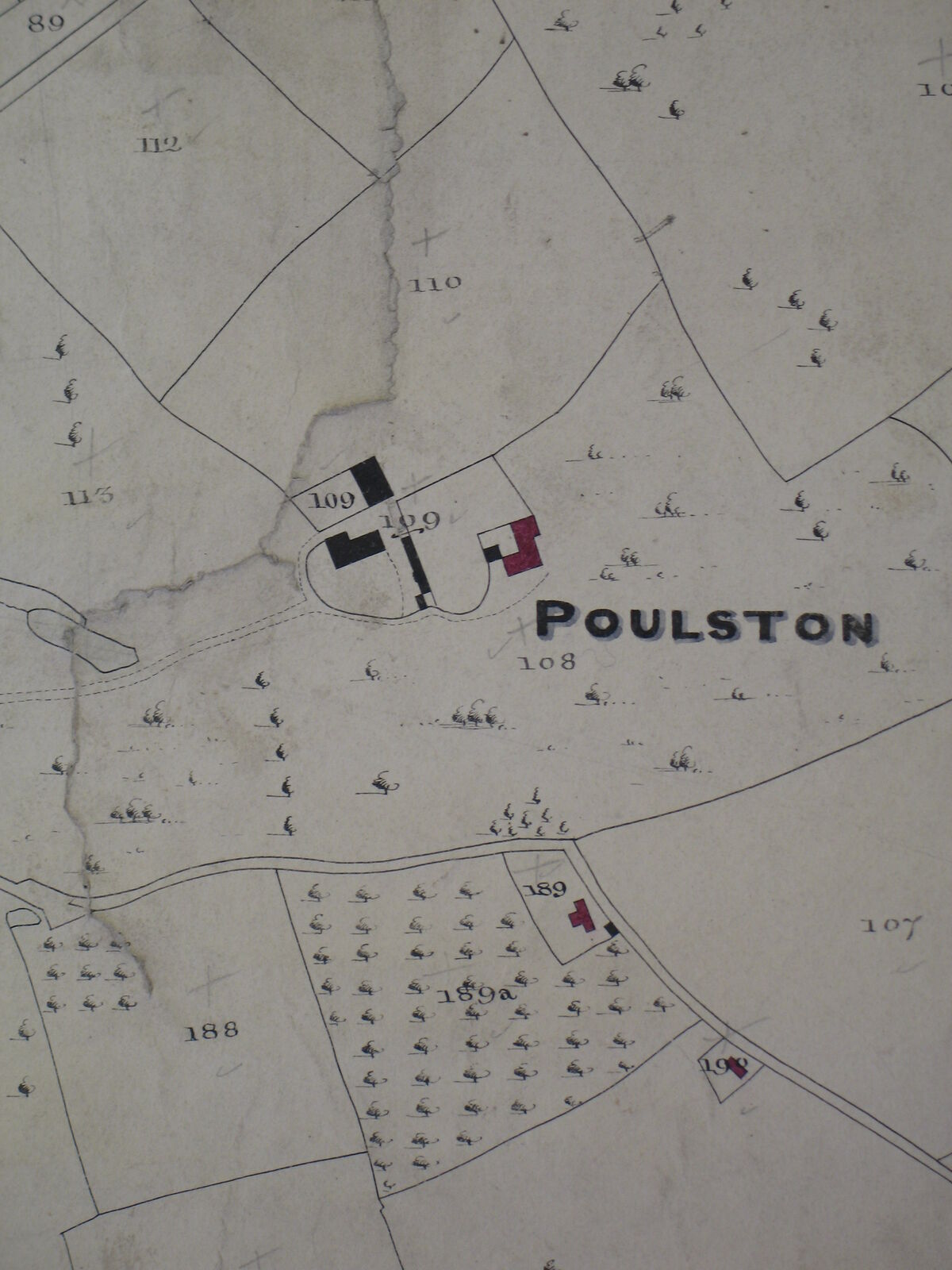
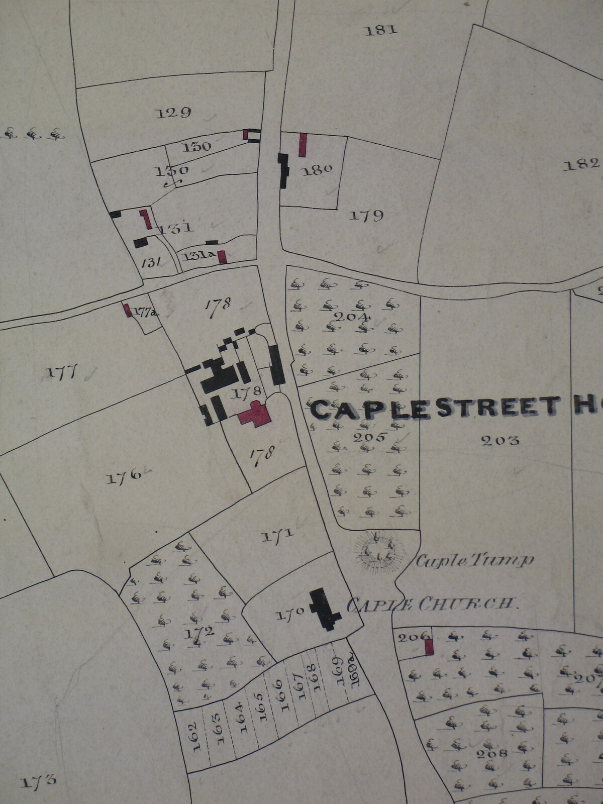
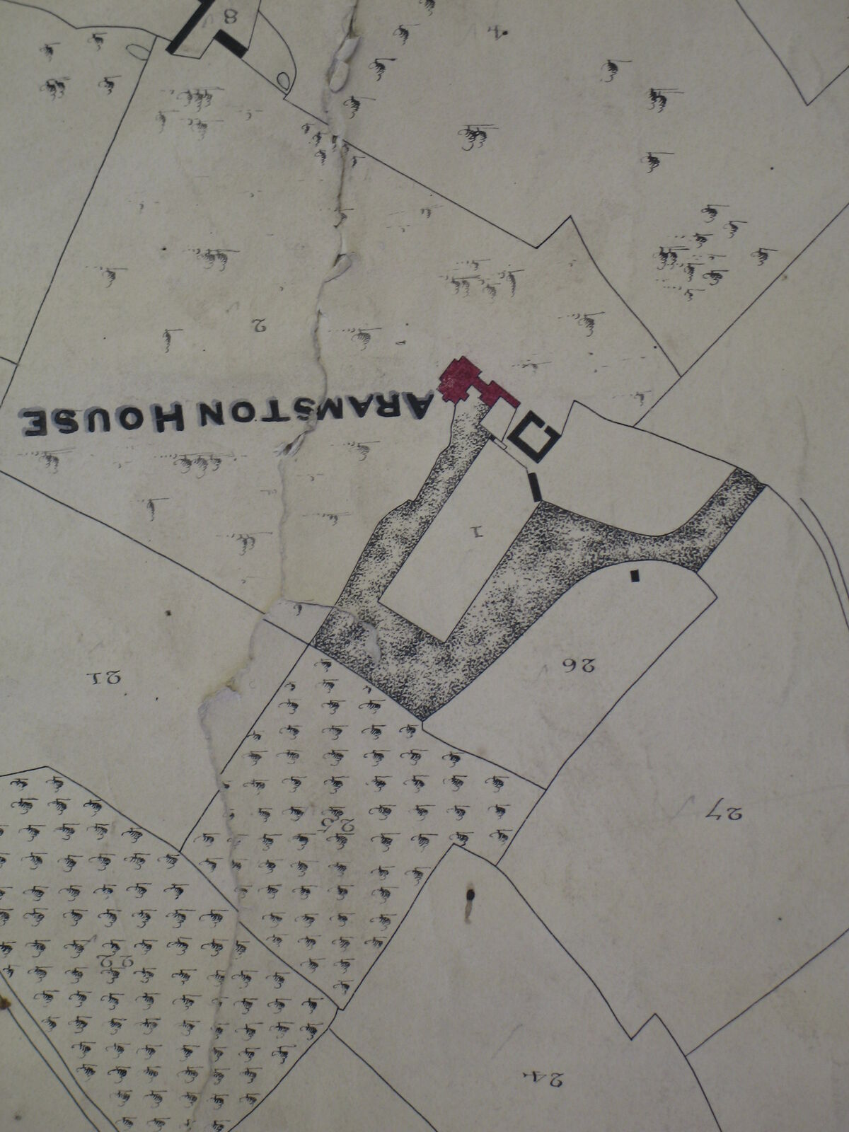
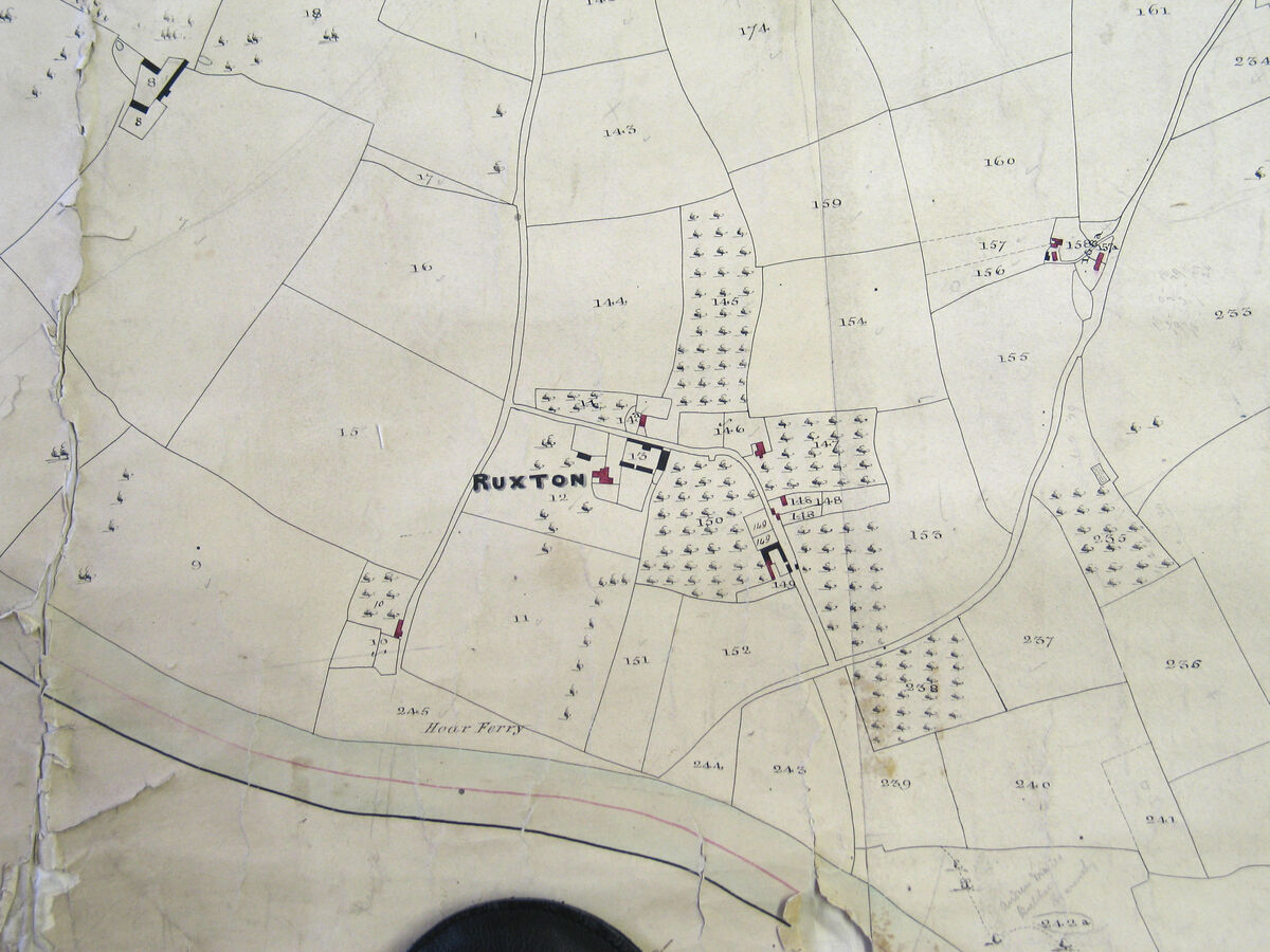
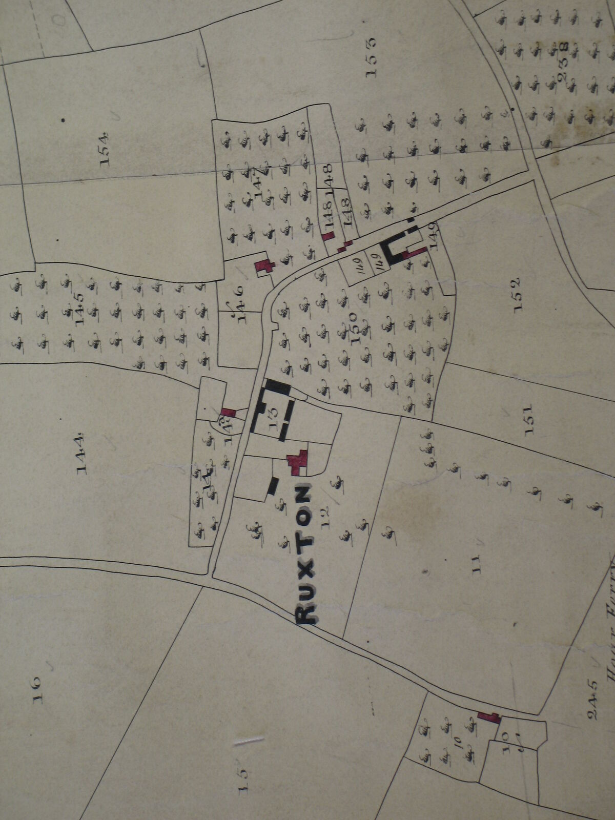
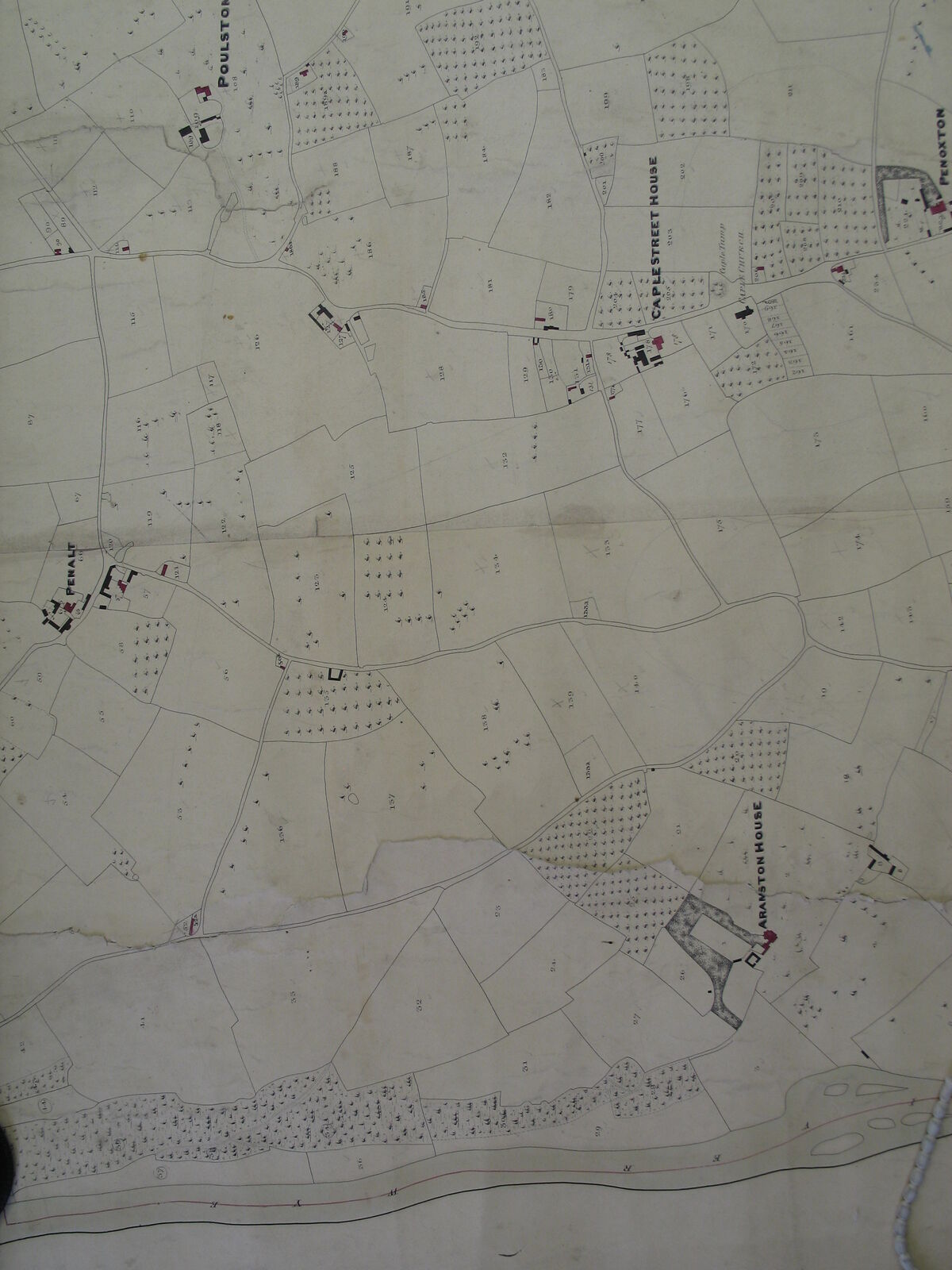
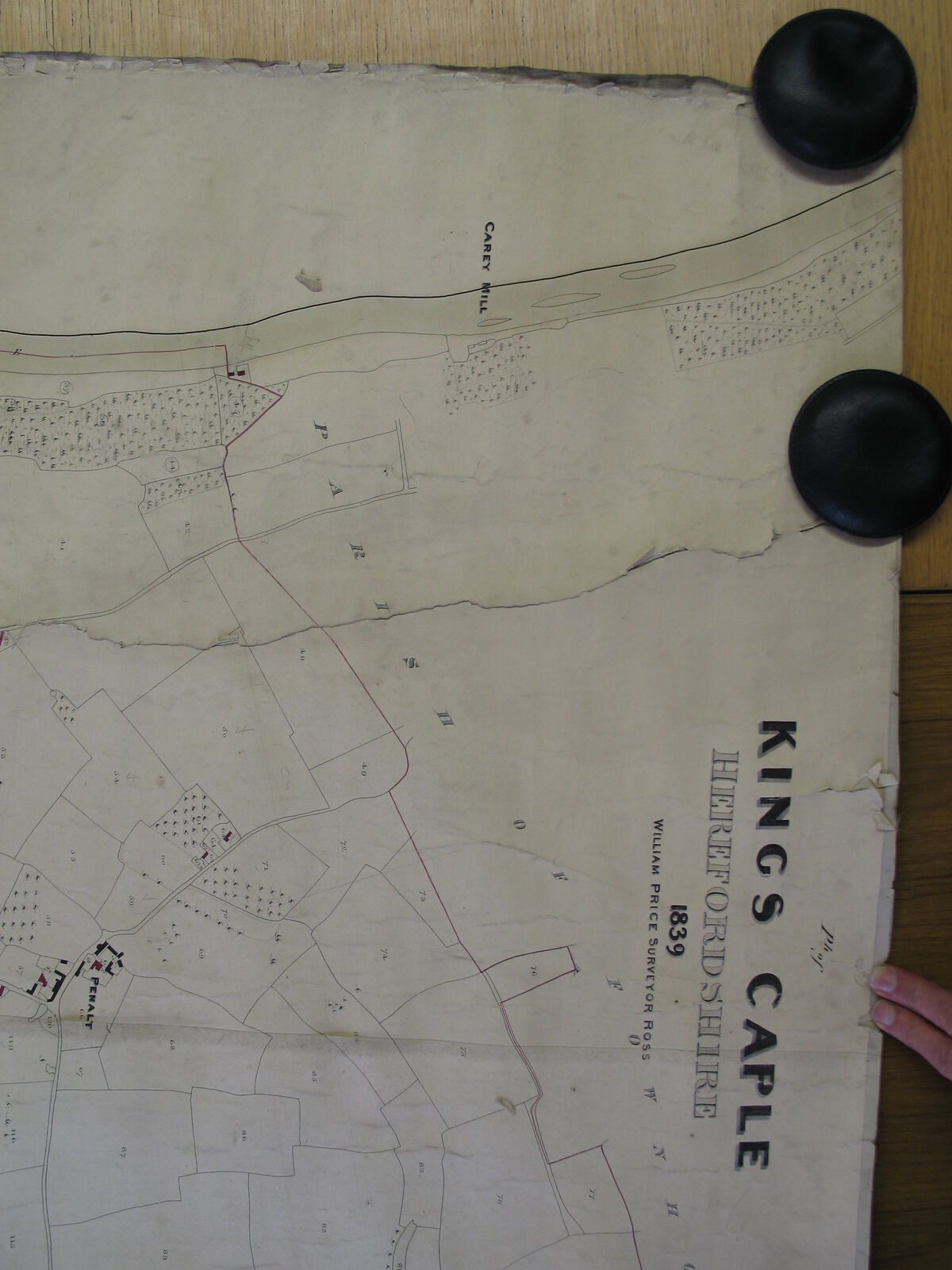
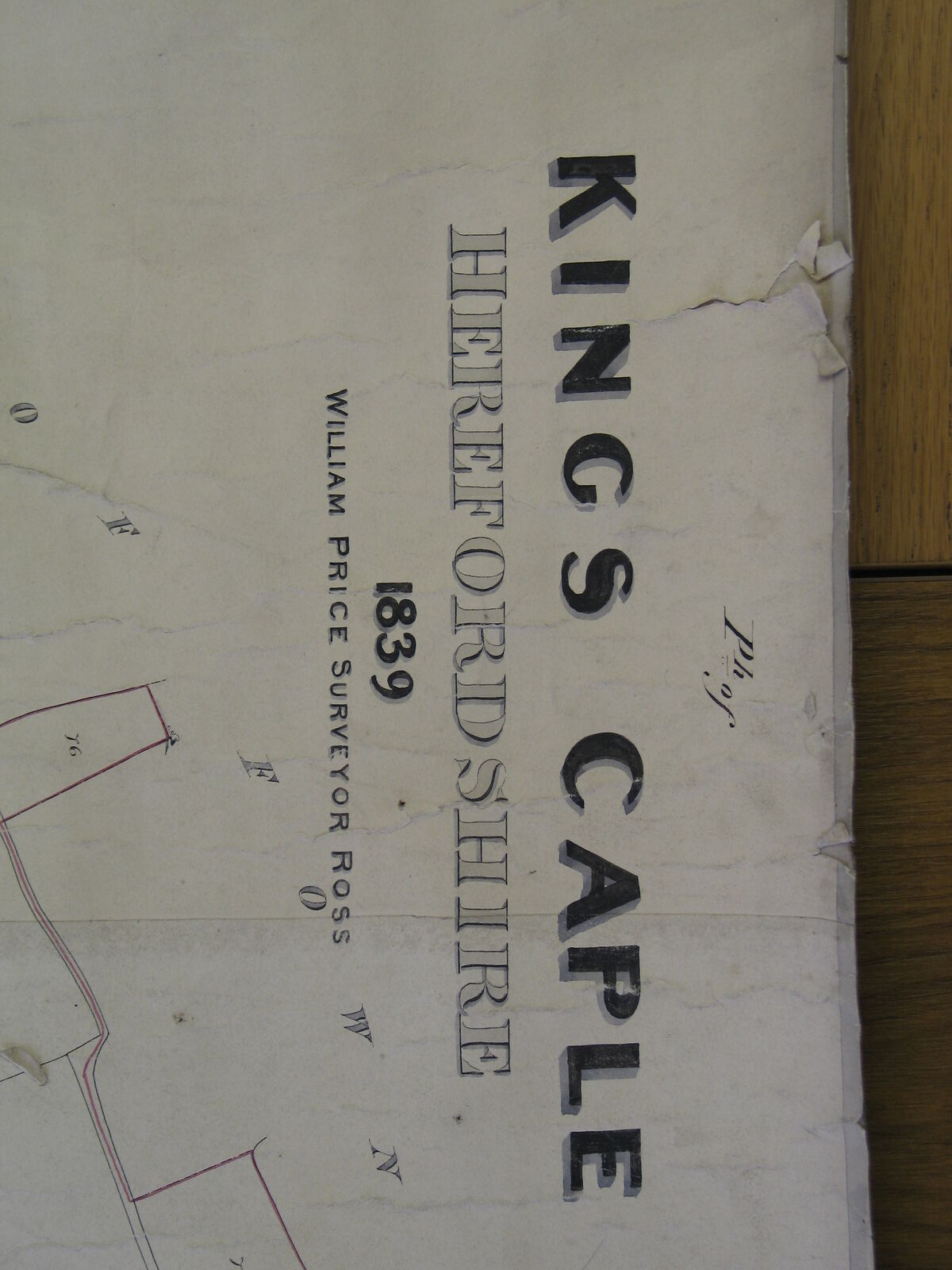
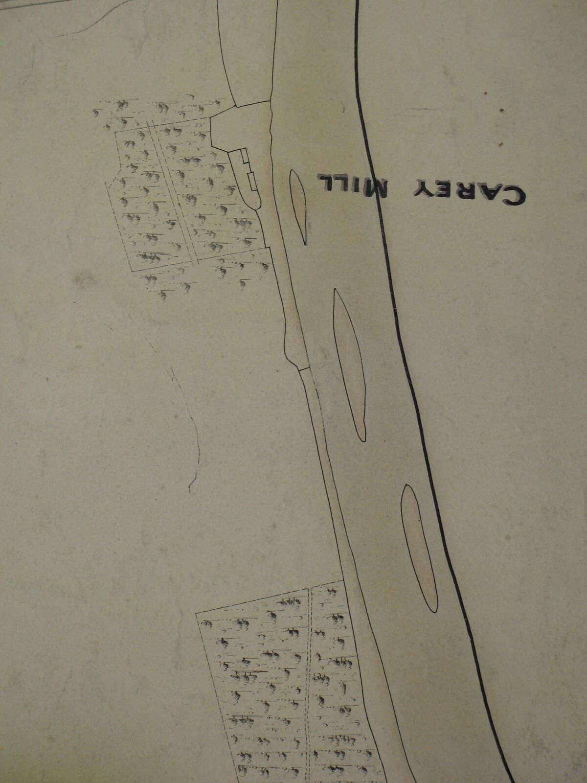
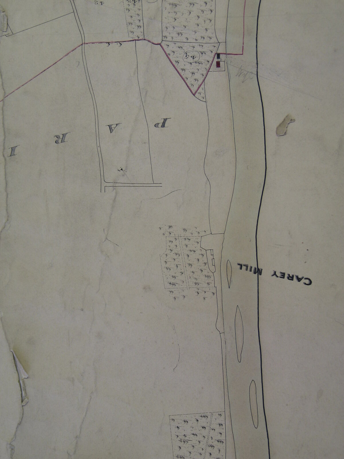
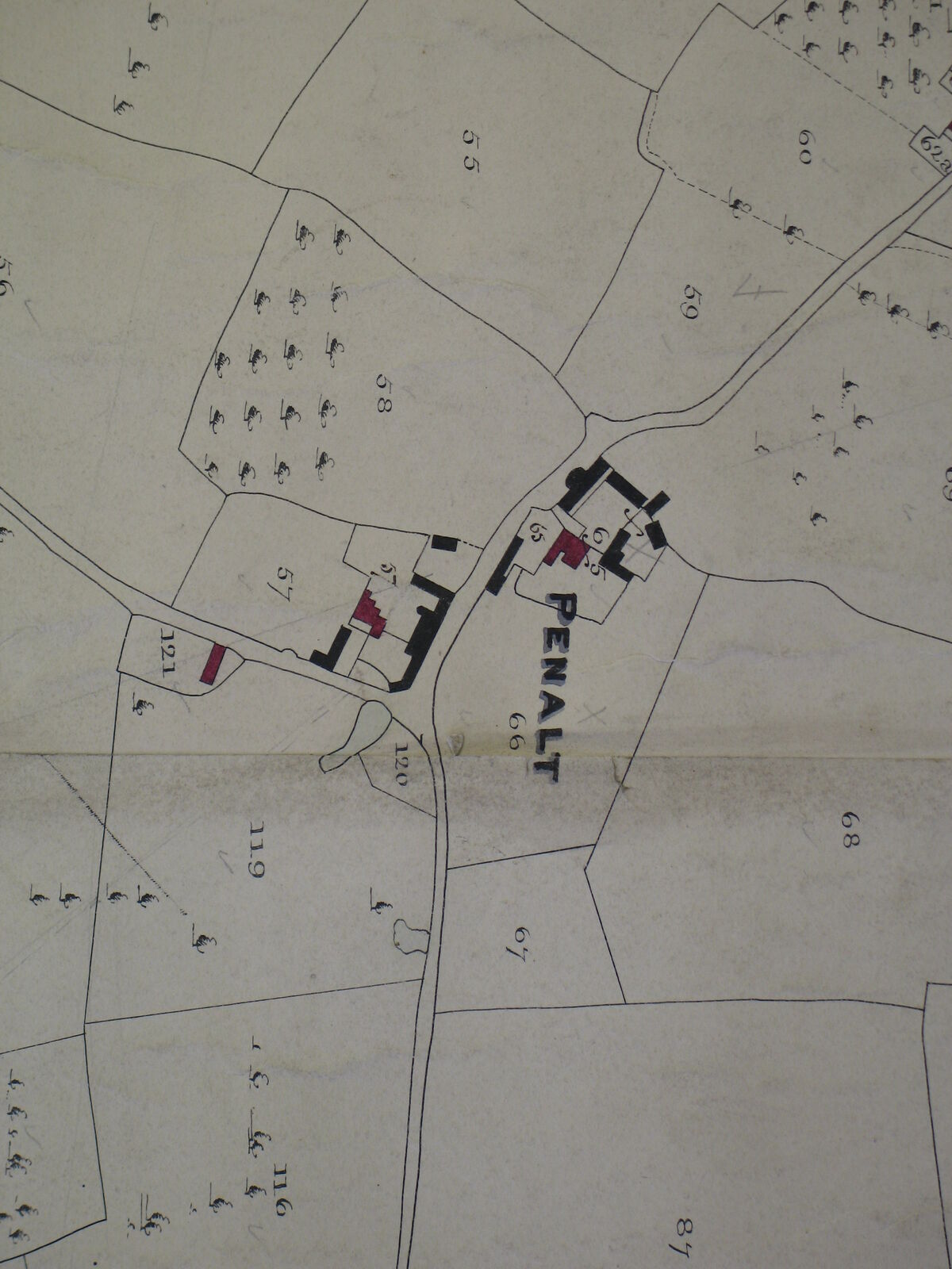
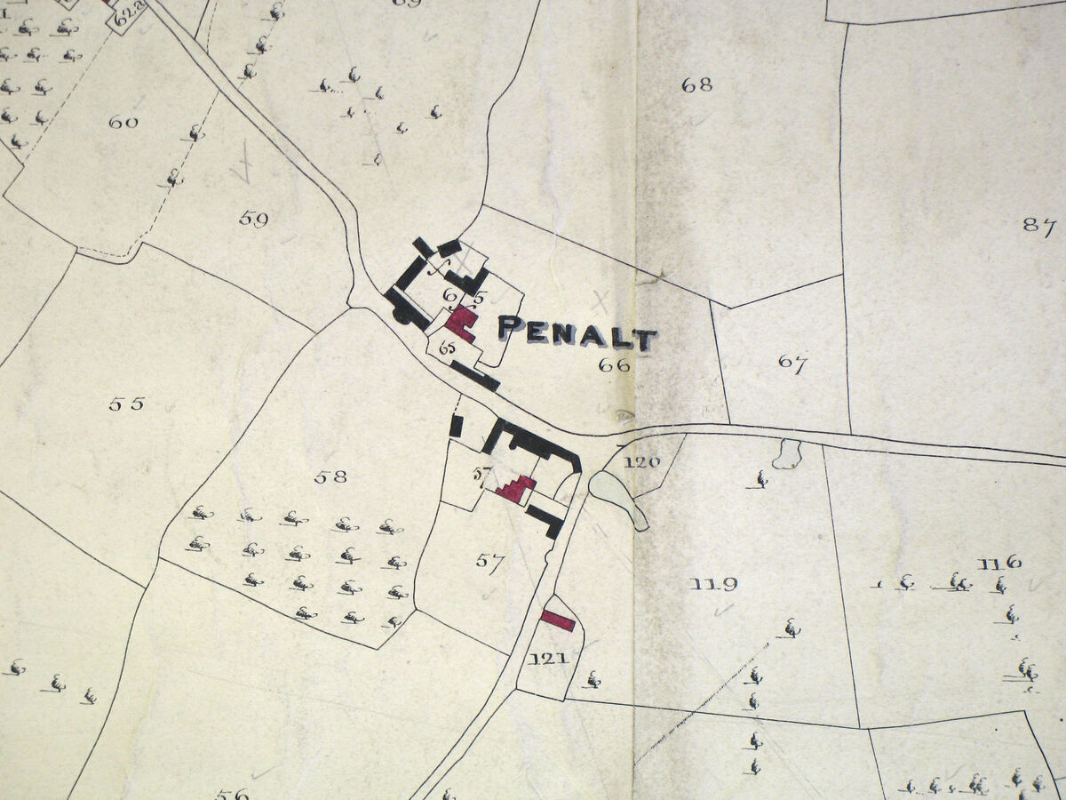
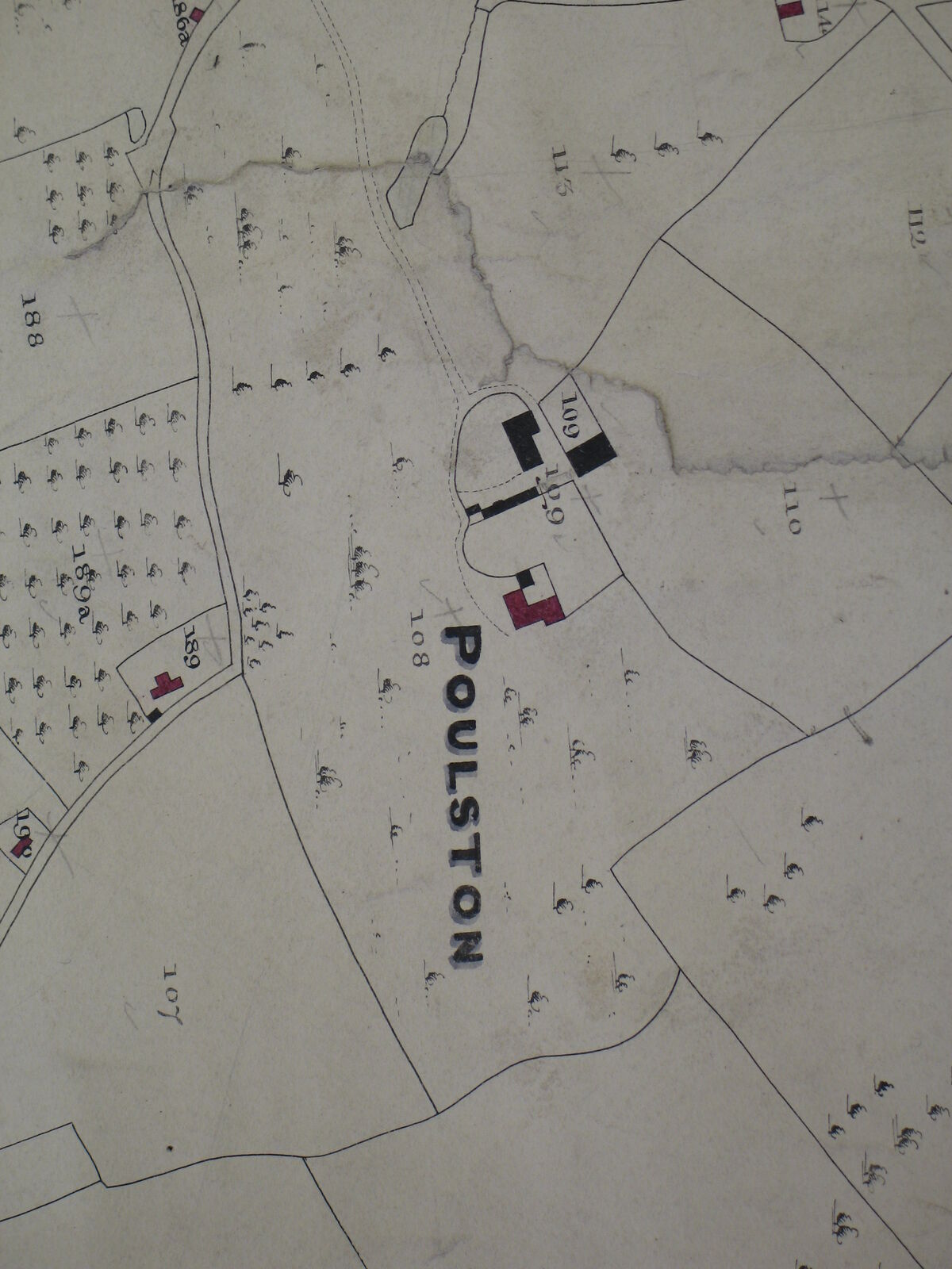
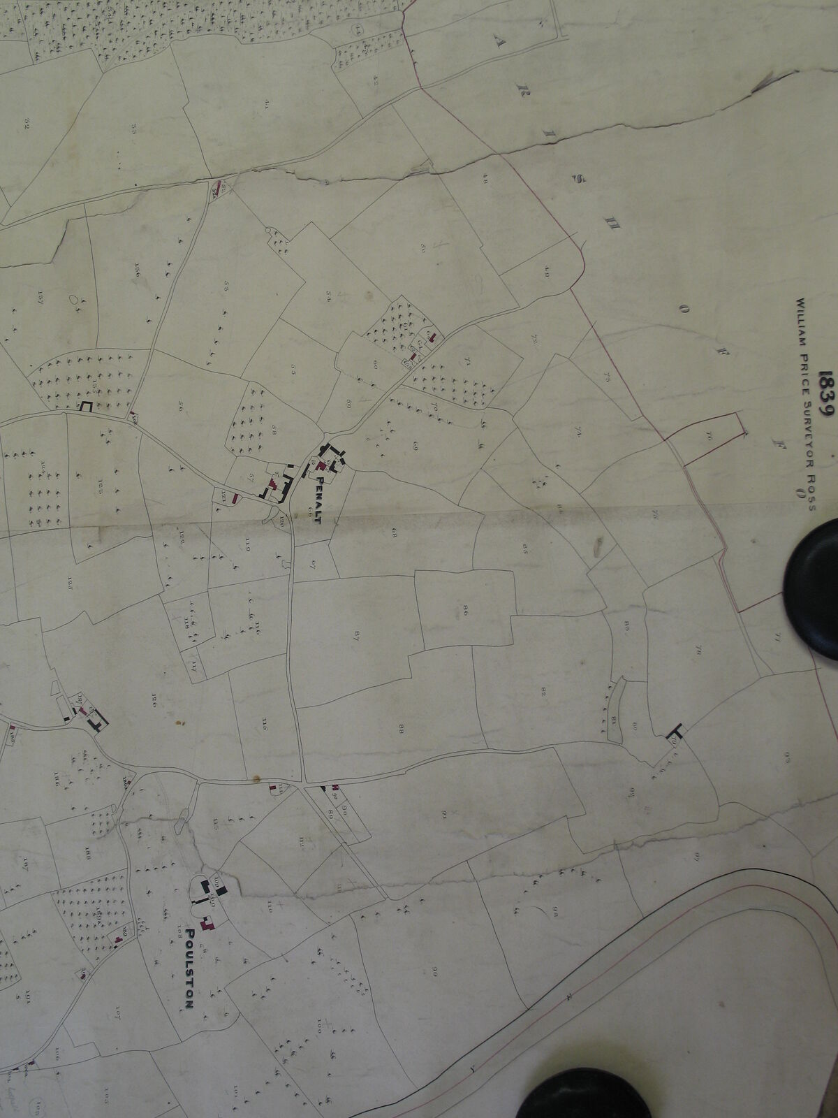
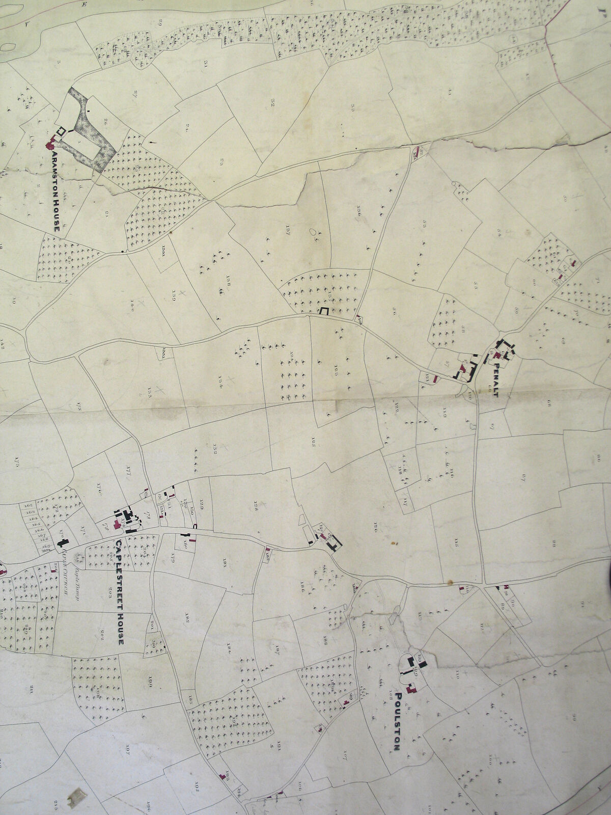
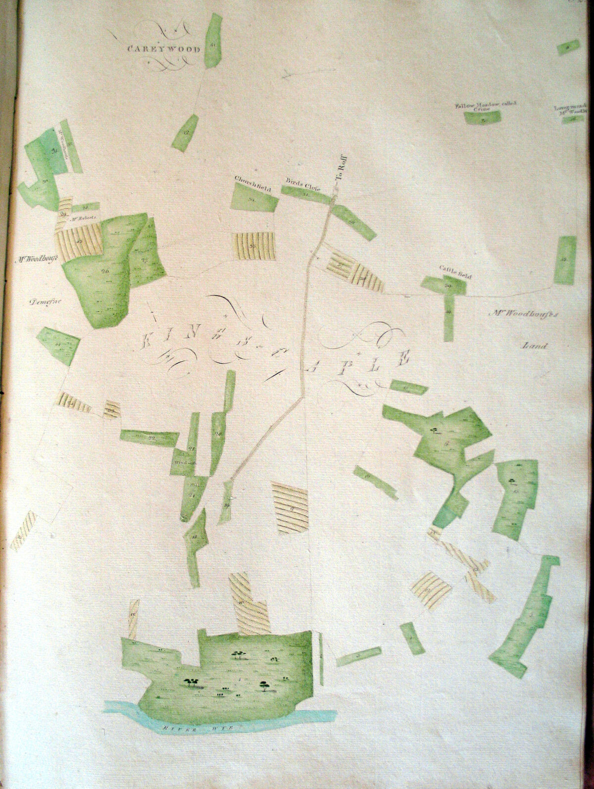
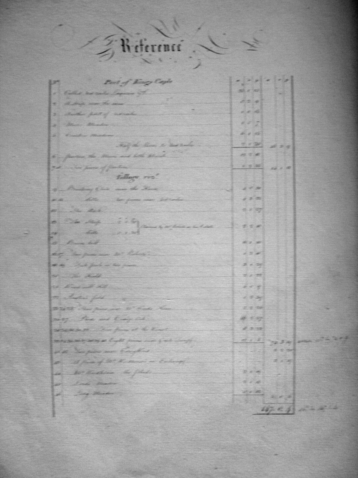
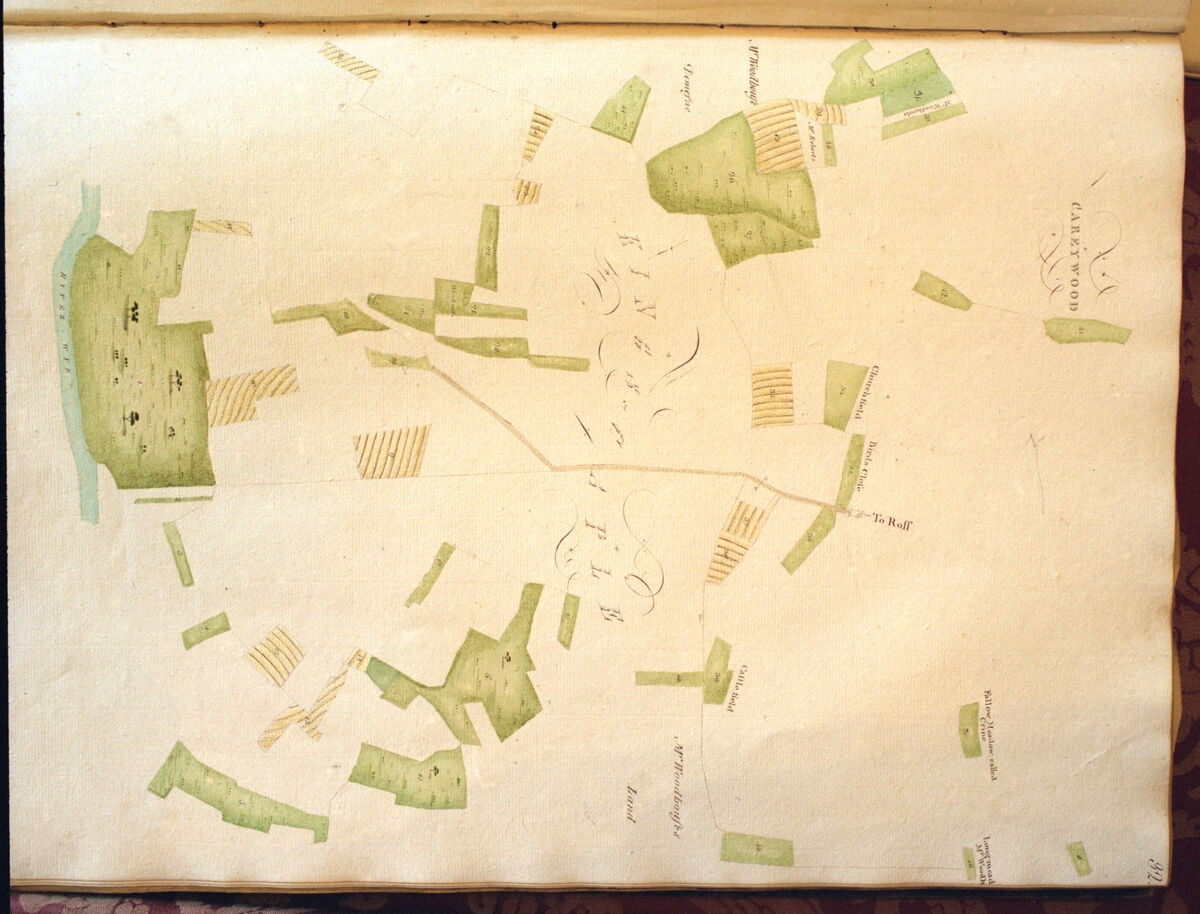
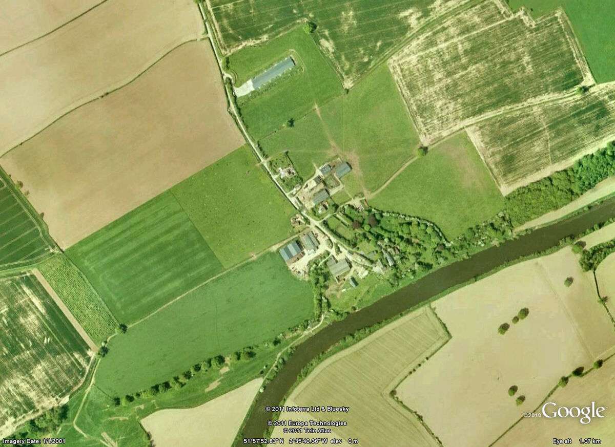
Additional Kings Caple materials from the LOWV project archive: Bronica film scans of tithe map apportionments, G6 digital photographs of the same surveys, historic Scudamore map details, and landscape views from the CPRE collection.